
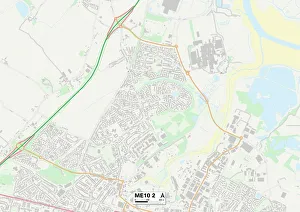
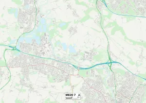
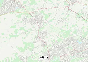
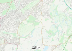
Coldharbour Lane Collection
Coldharbour Lane is a road that stretches across various locations in the United Kingdom, connecting North Somerset to Bristol, Hertsmere to Shepway, Rother to Ashford


All Professionally Made to Order for Quick Shipping
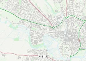
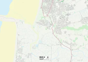
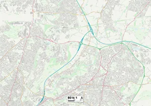
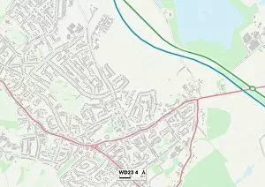
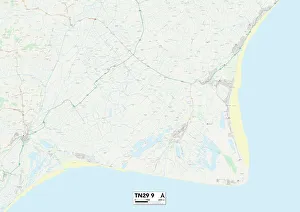
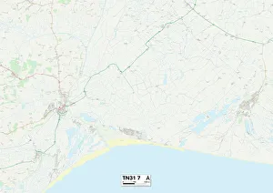
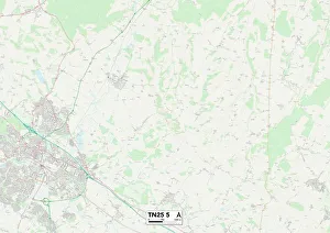
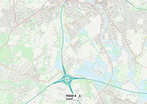
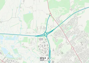
Coldharbour Lane is a road that stretches across various locations in the United Kingdom, connecting North Somerset to Bristol, Hertsmere to Shepway, Rother to Ashford, Runnymede to Southampton, Kennet to Sevenoaks and Hillingdon to Reigate and Banstead. This diverse and extensive route encompasses a multitude of landscapes and communities. Starting in North Somerset (BS23 4 Map), Coldharbour Lane winds through picturesque countryside before reaching the bustling city of Bristol (BS16 1 Map). Here, it becomes a vibrant artery pulsating with life as it weaves through eclectic neighborhoods filled with shops, cafes, and cultural hotspots. Continuing its journey northwards into Hertsmere (WD23 4 Map), Coldharbour Lane takes on a more suburban character. Lined with charming houses and leafy streets, this section provides a peaceful respite from the urban hustle. As the road ventures further eastward into Shepway (TN29 9 Map) and Rother (TN31 7 Map), it passes through quaint villages nestled amidst rolling hills. The idyllic scenery invites travelers to explore hidden gems off the beaten path while enjoying the tranquility of rural life. Moving towards Ashford (TN25 5 Map), Coldharbour Lane enters an area known for its rich history. Ancient castles stand proudly alongside modern developments as reminders of bygone eras blending seamlessly with contemporary living. The road then leads southwards into Runnymede (TW20 8 Map) where lush green spaces dominate the landscape. Parks and gardens provide ample opportunities for leisurely strolls or picnics under shady trees—a perfect escape from urban chaos. Traversing Southampton's outskirts (SO16 0 Map), it offers glimpses of maritime heritage along its way. With close proximity to docks and marinas, this stretch showcases nautical charm and a bustling waterfront atmosphere.