Fraud Blocker Skip to main content

Churchill Close Collection (page 2)

Churchill Close is a charming residential street located in various parts of the United Kingdom

Background imageChurchill Close Collection: Mole Valley KT22 9 Map

Mole Valley KT22 9 Map
Postcode Sector Map of Mole Valley KT22 9

Background imageChurchill Close Collection: Rushmoor GU14 8 Map

Rushmoor GU14 8 Map
Postcode Sector Map of Rushmoor GU14 8

Background imageChurchill Close Collection: Hereford HR1 1 Map

Hereford HR1 1 Map
Postcode Sector Map of Hereford HR1 1

Background imageChurchill Close Collection: Wycombe HP10 9 Map

Wycombe HP10 9 Map
Postcode Sector Map of Wycombe HP10 9

Background imageChurchill Close Collection: Breckland IP25 6 Map

Breckland IP25 6 Map
Postcode Sector Map of Breckland IP25 6

Background imageChurchill Close Collection: St Edmundsbury IP29 4 Map

St Edmundsbury IP29 4 Map
Postcode Sector Map of St Edmundsbury IP29 4

Background imageChurchill Close Collection: East Hampshire GU34 5 Map

East Hampshire GU34 5 Map
Postcode Sector Map of East Hampshire GU34 5

Background imageChurchill Close Collection: East Hampshire GU34 1 Map

East Hampshire GU34 1 Map
Postcode Sector Map of East Hampshire GU34 1

Background imageChurchill Close Collection: Wyre FY5 4 Map

Wyre FY5 4 Map
Postcode Sector Map of Wyre FY5 4

Background imageChurchill Close Collection: Stroud GL6 0 Map

Stroud GL6 0 Map
Postcode Sector Map of Stroud GL6 0

Background imageChurchill Close Collection: Exeter EX32 7 Map

Exeter EX32 7 Map
Postcode Sector Map of Exeter EX32 7

Background imageChurchill Close Collection: Teignbridge EX6 8 Map

Teignbridge EX6 8 Map
Postcode Sector Map of Teignbridge EX6 8

Background imageChurchill Close Collection: Erewash DE72 3 Map

Erewash DE72 3 Map
Postcode Sector Map of Erewash DE72 3

Background imageChurchill Close Collection: Weymouth and Portland DT4 9 Map

Weymouth and Portland DT4 9 Map
Postcode Sector Map of Weymouth and Portland DT4 9

Background imageChurchill Close Collection: Stratford-on-Avon CV37 7 Map

Stratford-on-Avon CV37 7 Map
Postcode Sector Map of Stratford-on-Avon CV37 7

Background imageChurchill Close Collection: Dartford DA1 1 Map

Dartford DA1 1 Map
Postcode Sector Map of Dartford DA1 1

Background imageChurchill Close Collection: County Durham DH8 0 Map

County Durham DH8 0 Map
Postcode Sector Map of County Durham DH8 0

Background imageChurchill Close Collection: Kent CT4 5 Map

Kent CT4 5 Map
Postcode Sector Map of Kent CT4 5

Background imageChurchill Close Collection: Croydon CR6 9 Map

Croydon CR6 9 Map
Postcode Sector Map of Croydon CR6 9

Background imageChurchill Close Collection: Cardiff CF14 0 Map

Cardiff CF14 0 Map
Postcode Sector Map of Cardiff CF14 0

Background imageChurchill Close Collection: Colchester CO7 0 Map

Colchester CO7 0 Map
Postcode Sector Map of Colchester CO7 0

Background imageChurchill Close Collection: Kent CT15 6 Map

Kent CT15 6 Map
Postcode Sector Map of Kent CT15 6

Background imageChurchill Close Collection: North Somerset BS21 6 Map

North Somerset BS21 6 Map
Postcode Sector Map of North Somerset BS21 6

Background imageChurchill Close Collection: Bridgend CF31 4 Map

Bridgend CF31 4 Map
Postcode Sector Map of Bridgend CF31 4

Background imageChurchill Close Collection: Flintshire CH5 3 Map

Flintshire CH5 3 Map
Postcode Sector Map of Flintshire CH5 3

Background imageChurchill Close Collection: Epping Forest CM5 9 Map

Epping Forest CM5 9 Map
Postcode Sector Map of Epping Forest CM5 9

Background imageChurchill Close Collection: Eastbourne BN20 8 Map

Eastbourne BN20 8 Map
Postcode Sector Map of Eastbourne BN20 8

Background imageChurchill Close Collection: East Dorset BH21 4 Map

East Dorset BH21 4 Map
Postcode Sector Map of East Dorset BH21 4

Background imageChurchill Close Collection: Mendip BA5 3 Map

Mendip BA5 3 Map
Postcode Sector Map of Mendip BA5 3

Background imageChurchill Close Collection: Sandwell B69 3 Map

Sandwell B69 3 Map
Postcode Sector Map of Sandwell B69 3


All Professionally Made to Order for Quick Shipping

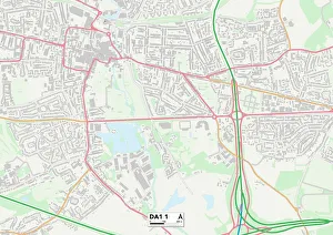
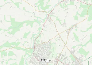
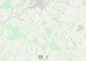
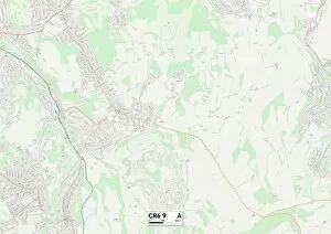
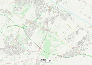
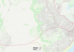
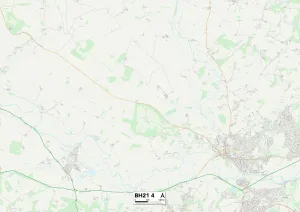
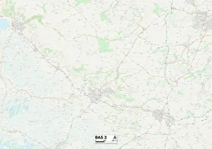
Churchill Close is a charming residential street located in various parts of the United Kingdom. From Redcar & Cleveland to Hambleton, Luton to South Gloucestershire, and Powys to Shropshire, this name seems to be quite popular across different regions. With its diverse presence on the map, it offers a sense of community and homeliness wherever it may be found. In Redcar & Cleveland (TS6 9 Map), Churchill Close stands as a testament to the beauty of this coastal area. Surrounded by breathtaking views and serene landscapes, residents here enjoy a peaceful lifestyle with easy access to nature's wonders. Moving towards Hambleton (TS9 6 Map), Churchill Close continues its legacy as an idyllic neighborhood. Nestled amidst picturesque countryside scenery, this close-knit community fosters strong bonds among its residents while providing them with modern amenities for comfortable living. Heading southwards towards Luton (LU3 3 Map), Churchill Close becomes part of a vibrant urban setting. Here, residents benefit from excellent transport links and proximity to bustling city life while still enjoying the tranquility that their close-knit community provides. In South Gloucestershire (BS30 8 Map), Churchill Close finds itself surrounded by rolling green hills and stunning natural beauty. This location offers residents both rural charm and convenient access to nearby towns for shopping or entertainment purposes. Venturing into Powys (SY16 2 Map) in Wales brings us another incarnation of Churchill Close. Set against the backdrop of majestic mountains and lush valleys, this close embodies Welsh hospitality at its finest – warm-hearted neighbors coming together in unity. Further west lies Shropshire (SY8 1 Map), where yet another iteration can be found. Steeped in history and heritage, this region boasts quaint villages dotted along winding country lanes – each offering their own unique charm within reach from your doorstep.