Fraud Blocker Skip to main content

Church Lane Collection (page 24)

"Discover the Serene Beauty of Church Lane in Ledbury, Herefordshire" Nestled in the picturesque county of Herefordshire, England, lies the enchanting Church Lane

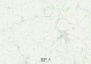
Background imageChurch Lane Collection: Babergh CO10 7 Map

Babergh CO10 7 Map
Postcode Sector Map of Babergh CO10 7

Background imageChurch Lane Collection: Tendring CO16 9 Map

Tendring CO16 9 Map
Postcode Sector Map of Tendring CO16 9

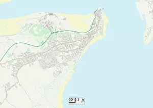
Background imageChurch Lane Collection: Tendring CO12 3 Map

Tendring CO12 3 Map
Postcode Sector Map of Tendring CO12 3

Background imageChurch Lane Collection: Tendring CO11 1 Map

Tendring CO11 1 Map
Postcode Sector Map of Tendring CO11 1

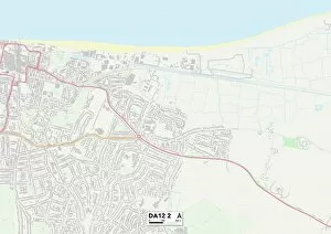
Background imageChurch Lane Collection: Gravesham DA12 2 Map

Gravesham DA12 2 Map
Postcode Sector Map of Gravesham DA12 2

Background imageChurch Lane Collection: Doncaster DN7 5 Map

Doncaster DN7 5 Map
Postcode Sector Map of Doncaster DN7 5

Background imageChurch Lane Collection: Doncaster DN9 3 Map

Doncaster DN9 3 Map
Postcode Sector Map of Doncaster DN9 3

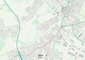
Background imageChurch Lane Collection: Doncaster DN4 0 Map

Doncaster DN4 0 Map
Postcode Sector Map of Doncaster DN4 0

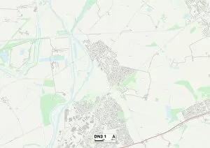
Background imageChurch Lane Collection: Doncaster DN3 1 Map

Doncaster DN3 1 Map
Postcode Sector Map of Doncaster DN3 1

Background imageChurch Lane Collection: County Durham DL17 8 Map

County Durham DL17 8 Map
Postcode Sector Map of County Durham DL17 8

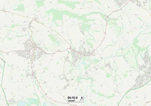
Background imageChurch Lane Collection: County Durham DL15 0 Map

County Durham DL15 0 Map
Postcode Sector Map of County Durham DL15 0

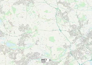
Background imageChurch Lane Collection: Doncaster DN5 7 Map

Doncaster DN5 7 Map
Postcode Sector Map of Doncaster DN5 7

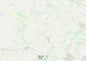
Background imageChurch Lane Collection: County Durham DL13 4 Map

County Durham DL13 4 Map
Postcode Sector Map of County Durham DL13 4

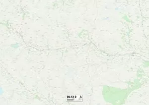
Background imageChurch Lane Collection: County Durham DL13 2 Map

County Durham DL13 2 Map
Postcode Sector Map of County Durham DL13 2

Background imageChurch Lane Collection: County Durham DL13 3 Map

County Durham DL13 3 Map
Postcode Sector Map of County Durham DL13 3

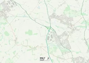
Background imageChurch Lane Collection: Doncaster DN6 7 Map

Doncaster DN6 7 Map
Postcode Sector Map of Doncaster DN6 7

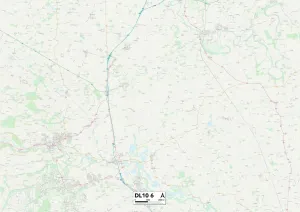
Background imageChurch Lane Collection: North Yorkshire DL10 6 Map

North Yorkshire DL10 6 Map
Postcode Sector Map of North Yorkshire DL10 6

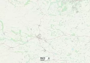
Background imageChurch Lane Collection: North Yorkshire DL8 5 Map

North Yorkshire DL8 5 Map
Postcode Sector Map of North Yorkshire DL8 5

Background imageChurch Lane Collection: North Yorkshire DL8 4 Map

North Yorkshire DL8 4 Map
Postcode Sector Map of North Yorkshire DL8 4

Background imageChurch Lane Collection: North Yorkshire DL8 3 Map

North Yorkshire DL8 3 Map
Postcode Sector Map of North Yorkshire DL8 3

Background imageChurch Lane Collection: County Durham DL5 6 Map

County Durham DL5 6 Map
Postcode Sector Map of County Durham DL5 6

Background imageChurch Lane Collection: Darlington DL2 1 Map

Darlington DL2 1 Map
Postcode Sector Map of Darlington DL2 1

Background imageChurch Lane Collection: Wigtownshire DG8 9 Map

Wigtownshire DG8 9 Map
Postcode Sector Map of Wigtownshire DG8 9

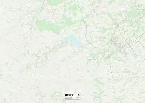
Background imageChurch Lane Collection: County Durham DH8 9 Map

County Durham DH8 9 Map
Postcode Sector Map of County Durham DH8 9

Background imageChurch Lane Collection: Wigtownshire DG8 6 Map

Wigtownshire DG8 6 Map
Postcode Sector Map of Wigtownshire DG8 6

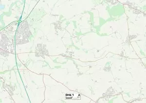
Background imageChurch Lane Collection: County Durham DH6 1 Map

County Durham DH6 1 Map
Postcode Sector Map of County Durham DH6 1

Background imageChurch Lane Collection: Wirral CH44 8 Map

Wirral CH44 8 Map
Postcode Sector Map of Wirral CH44 8

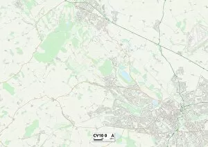
Background imageChurch Lane Collection: Nuneaton & Bedworth CV10 0 Map

Nuneaton & Bedworth CV10 0 Map
Postcode Sector Map of Nuneaton & Bedworth CV10 0

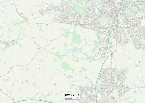
Background imageChurch Lane Collection: Nuneaton & Bedworth CV10 7 Map

Nuneaton & Bedworth CV10 7 Map
Postcode Sector Map of Nuneaton & Bedworth CV10 7

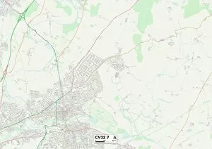
Background imageChurch Lane Collection: Warwick CV32 7 Map

Warwick CV32 7 Map
Postcode Sector Map of Warwick CV32 7

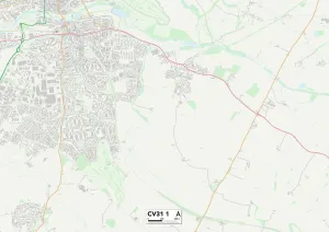
Background imageChurch Lane Collection: Warwick CV31 1 Map

Warwick CV31 1 Map
Postcode Sector Map of Warwick CV31 1

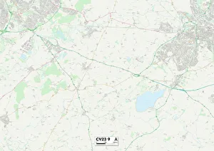
Background imageChurch Lane Collection: Rugby CV23 9 Map

Rugby CV23 9 Map
Postcode Sector Map of Rugby CV23 9

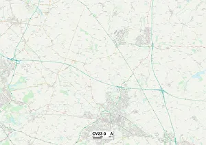
Background imageChurch Lane Collection: Rugby CV23 0 Map

Rugby CV23 0 Map
Postcode Sector Map of Rugby CV23 0

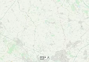
Background imageChurch Lane Collection: Hinckley and Bosworth CV13 6 Map

Hinckley and Bosworth CV13 6 Map
Postcode Sector Map of Hinckley and Bosworth CV13 6

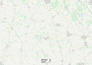
Background imageChurch Lane Collection: Hinckley and Bosworth CV13 0 Map

Hinckley and Bosworth CV13 0 Map
Postcode Sector Map of Hinckley and Bosworth CV13 0

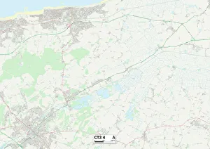
Background imageChurch Lane Collection: Kent CT3 4 Map

Kent CT3 4 Map
Postcode Sector Map of Kent CT3 4

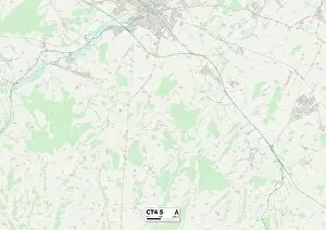
Background imageChurch Lane Collection: Kent CT4 5 Map

Kent CT4 5 Map
Postcode Sector Map of Kent CT4 5

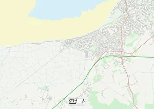
Background imageChurch Lane Collection: Kent CT5 4 Map

Kent CT5 4 Map
Postcode Sector Map of Kent CT5 4

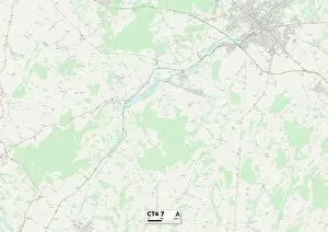
Background imageChurch Lane Collection: Kent CT4 7 Map

Kent CT4 7 Map
Postcode Sector Map of Kent CT4 7

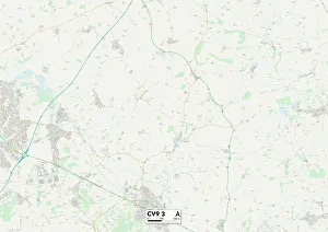
Background imageChurch Lane Collection: North Warwickshire CV9 3 Map

North Warwickshire CV9 3 Map
Postcode Sector Map of North Warwickshire CV9 3

Background imageChurch Lane Collection: Warwick CV8 3 Map

Warwick CV8 3 Map
Postcode Sector Map of Warwick CV8 3

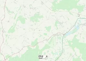
Background imageChurch Lane Collection: Kent CT4 8 Map

Kent CT4 8 Map
Postcode Sector Map of Kent CT4 8

Background imageChurch Lane Collection: Coventry CV7 8 Map

Coventry CV7 8 Map
Postcode Sector Map of Coventry CV7 8

Background imageChurch Lane Collection: Kent CT4 6 Map

Kent CT4 6 Map
Postcode Sector Map of Kent CT4 6

Background imageChurch Lane Collection: Kent CT3 3 Map

Kent CT3 3 Map
Postcode Sector Map of Kent CT3 3

Background imageChurch Lane Collection: Kent CT3 1 Map

Kent CT3 1 Map
Postcode Sector Map of Kent CT3 1

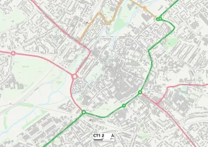
Background imageChurch Lane Collection: Kent CT1 2 Map

Kent CT1 2 Map
Postcode Sector Map of Kent CT1 2

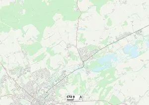
Background imageChurch Lane Collection: Canterbury CT2 0 Map

Canterbury CT2 0 Map
Postcode Sector Map of Canterbury CT2 0


All Professionally Made to Order for Quick Shipping

"Discover the Serene Beauty of Church Lane in Ledbury, Herefordshire" Nestled in the picturesque county of Herefordshire, England, lies the enchanting Church Lane. This idyllic lane is a hidden gem that exudes tranquility and charm. As you wander along its cobblestone path, you'll be transported to a bygone era. Church Lane is located in Ledbury, a historic market town known for its timber-framed buildings and stunning countryside views. The lane itself is lined with quaint cottages adorned with colorful flowers spilling from their gardens. Each step reveals a new sight to behold. Venture further into this captivating region and you'll find yourself exploring Lichfield WS13 8 Map or Redcar & Cleveland TS6 9 Map - both offering their own unique landscapes and attractions. Whether it's the majestic cathedrals or vibrant coastal scenes that captivate your senses, these destinations are sure to leave an indelible mark on your heart. For those seeking solace amidst nature's embrace, South Hams TQ7 2 Map beckons with its rolling hills and breathtaking coastline. Lose yourself in the beauty of Enfield EN1 3 Map or Lewes BN7 2 Map as you meander through charming villages filled with characterful shops and inviting cafes. The allure extends beyond Herefordshire; it resonates throughout Europe. From East Riding of Yorkshire YO43 4 Map to Ashford TN23 3 Map, Mole Valley RH5 5 Map to Aylesbury Vale MK18 4 Map - each location boasts its own version of Church Lane's timeless appeal. Melton LE14 2Map offers a glimpse into rural life at its finest while Gloucester GL4 OMap showcases architectural wonders steeped in history. No matter where your journey takes you within this vast continent, there will always be a Church Lane waiting to be discovered.