Fraud Blocker Skip to main content

Church Court Collection

"Exploring the Mysteries of Church Court

Background imageChurch Court Collection: Newport NP19 7 Map

Newport NP19 7 Map
Postcode Sector Map of Newport NP19 7

Background imageChurch Court Collection: Aylesbury Vale HP22 5 Map

Aylesbury Vale HP22 5 Map
Postcode Sector Map of Aylesbury Vale HP22 5

Background imageChurch Court Collection: Doncaster DN4 6 Map

Doncaster DN4 6 Map
Postcode Sector Map of Doncaster DN4 6

Background imageChurch Court Collection: Gas Explosion in New Church Court, Strand (engraving)

Gas Explosion in New Church Court, Strand (engraving)
1100352 Gas Explosion in New Church Court, Strand (engraving) by English School, (19th century); Private Collection; (add.info.: Gas Explosion in New Church Court, Strand)

Background imageChurch Court Collection: Wakefield WF6 1 Map

Wakefield WF6 1 Map
Postcode Sector Map of Wakefield WF6 1

Background imageChurch Court Collection: Somerset TA19 9 Map

Somerset TA19 9 Map
Postcode Sector Map of Somerset TA19 9

Background imageChurch Court Collection: Scottish Borders TD4 6 Map

Scottish Borders TD4 6 Map
Postcode Sector Map of Scottish Borders TD4 6

Background imageChurch Court Collection: Tameside SK16 4 Map

Tameside SK16 4 Map
Postcode Sector Map of Tameside SK16 4

Background imageChurch Court Collection: Wakefield WF10 3 Map

Wakefield WF10 3 Map
Postcode Sector Map of Wakefield WF10 3

Background imageChurch Court Collection: Rotherham S25 5 Map

Rotherham S25 5 Map
Postcode Sector Map of Rotherham S25 5

Background imageChurch Court Collection: Barnsley S72 9 Map

Barnsley S72 9 Map
Postcode Sector Map of Barnsley S72 9

Background imageChurch Court Collection: Reigate and Banstead RH2 0 Map

Reigate and Banstead RH2 0 Map
Postcode Sector Map of Reigate and Banstead RH2 0

Background imageChurch Court Collection: Preston PR1 6 Map

Preston PR1 6 Map
Postcode Sector Map of Preston PR1 6

Background imageChurch Court Collection: South Kesteven PE9 2 Map

South Kesteven PE9 2 Map
Postcode Sector Map of South Kesteven PE9 2

Background imageChurch Court Collection: Northumberland NE22 5 Map

Northumberland NE22 5 Map
Postcode Sector Map of Northumberland NE22 5

Background imageChurch Court Collection: South Lanarkshire ML3 6 Map

South Lanarkshire ML3 6 Map
Postcode Sector Map of South Lanarkshire ML3 6

Background imageChurch Court Collection: Bolsover NG20 8 Map

Bolsover NG20 8 Map
Postcode Sector Map of Bolsover NG20 8

Background imageChurch Court Collection: Leeds LS27 8 Map

Leeds LS27 8 Map
Postcode Sector Map of Leeds LS27 8

Background imageChurch Court Collection: Selby LS24 9 Map

Selby LS24 9 Map
Postcode Sector Map of Selby LS24 9

Background imageChurch Court Collection: Leeds LS19 7 Map

Leeds LS19 7 Map
Postcode Sector Map of Leeds LS19 7

Background imageChurch Court Collection: Lancaster LA5 8 Map

Lancaster LA5 8 Map
Postcode Sector Map of Lancaster LA5 8

Background imageChurch Court Collection: Fife KY1 2 Map

Fife KY1 2 Map
Postcode Sector Map of Fife KY1 2

Background imageChurch Court Collection: Highland KW12 6 Map

Highland KW12 6 Map
Postcode Sector Map of Highland KW12 6

Background imageChurch Court Collection: Wyre FY6 7 Map

Wyre FY6 7 Map
Postcode Sector Map of Wyre FY6 7

Background imageChurch Court Collection: West Dunbartonshire G82 1 Map

West Dunbartonshire G82 1 Map
Postcode Sector Map of West Dunbartonshire G82 1

Background imageChurch Court Collection: West Lothian EH49 6 Map

West Lothian EH49 6 Map
Postcode Sector Map of West Lothian EH49 6

Background imageChurch Court Collection: Rugby CV21 3 Map

Rugby CV21 3 Map
Postcode Sector Map of Rugby CV21 3

Background imageChurch Court Collection: Cheshire West and Chester CH3 8 Map

Cheshire West and Chester CH3 8 Map
Postcode Sector Map of Cheshire West and Chester CH3 8

Background imageChurch Court Collection: Bath and North East Somerset BS40 5 Map

Bath and North East Somerset BS40 5 Map
Postcode Sector Map of Bath and North East Somerset BS40 5

Background imageChurch Court Collection: Bradford BD7 2 Map

Bradford BD7 2 Map
Postcode Sector Map of Bradford BD7 2

Background imageChurch Court Collection: Bury BL0 0 Map

Bury BL0 0 Map
Postcode Sector Map of Bury BL0 0

Background imageChurch Court Collection: Bath and North East Somerset BA3 2 Map

Bath and North East Somerset BA3 2 Map
Postcode Sector Map of Bath and North East Somerset BA3 2


All Professionally Made to Order for Quick Shipping

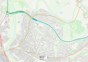
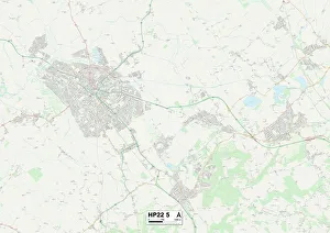
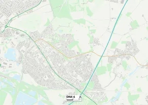
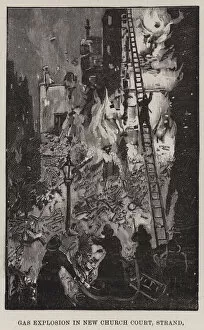
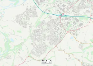
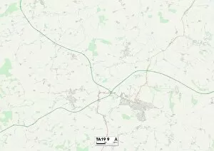
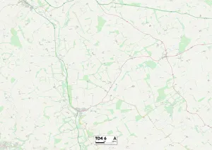
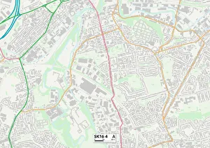
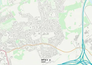
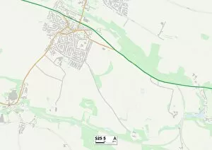
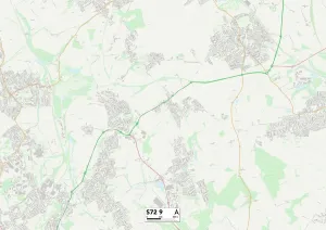
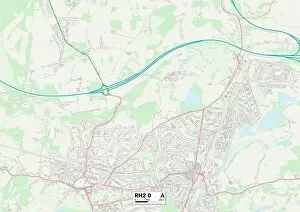
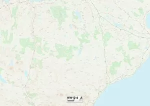
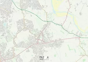
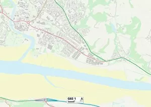
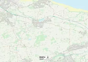
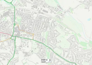
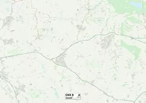
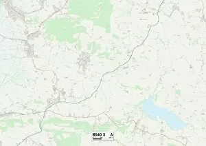
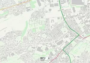
"Exploring the Mysteries of Church Court: A Journey Across Maps" Embark on a captivating journey through various maps as we delve into the intriguing world of Church Court. From the quaint streets of Newport NP19 7 to the serene landscapes of Aylesbury Vale HP22 5, our adventure begins. As we navigate through Doncaster DN4 6 and witness an engraving depicting a gas explosion in New Church Court, Strand, our curiosity deepens. The echoes of history guide us further towards Wakefield WF6 1 and Somerset TA19 9, where hidden tales await discovery. Venturing into Scottish Borders TD4 6, Tameside SK16 4, and Wakefield WF10 3, we unravel secrets that have withstood the test of time. Each map reveals fragments of stories etched within their boundaries – tales that intertwine faith and justice. Rotherham S25 5 beckons us next with its enigmatic charm. Here lies another chapter in the chronicles waiting to be unveiled. And just beyond its borders lies Barnsley S72 9 - a place where whispers from centuries past still resonate. Finally, Reigate and Banstead RH2 O welcomes us with open arms as we conclude our expedition through these diverse maps. In this final destination, let us reflect upon all that has been discovered – stories woven together by threads connecting people across time and space. Join us on this extraordinary odyssey as we explore Church Court's rich tapestry spanning different locations. Through maps serving as gateways to forgotten narratives, may we gain insight into lives once lived within these hallowed grounds.