
Burnham Road Collection
Welcome to Burnham Road, a diverse and vibrant street that stretches across various locations in the UK


All Professionally Made to Order for Quick Shipping
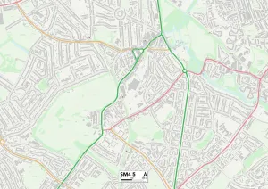
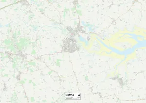
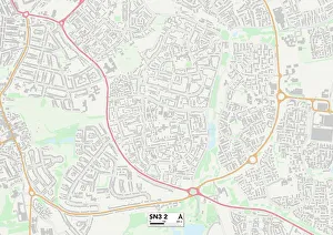
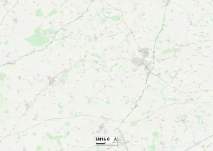
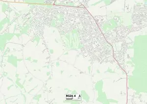
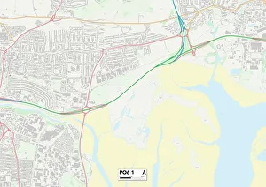
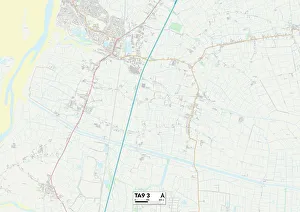
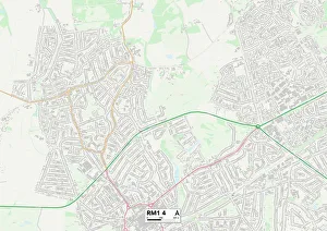
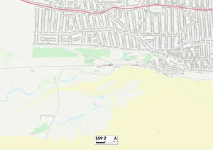
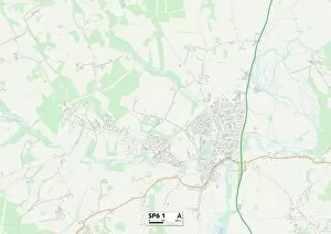
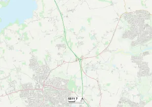
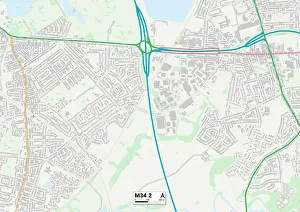
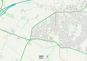
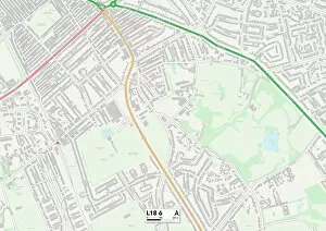
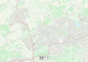
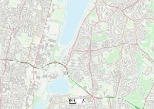
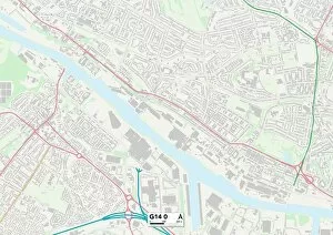
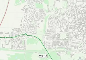
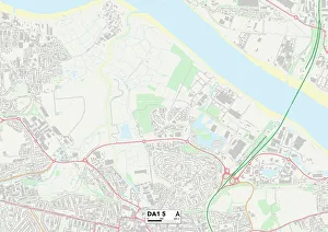
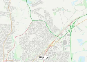
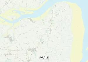
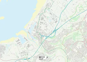
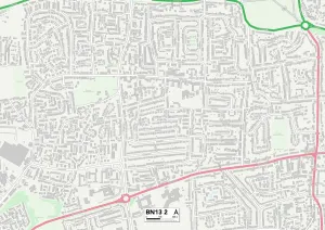
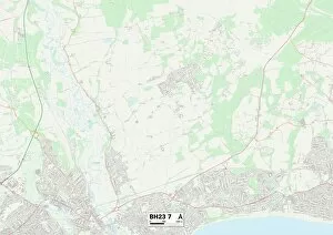
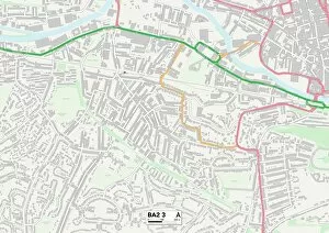
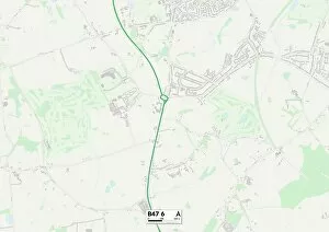
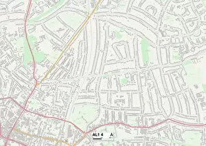
Welcome to Burnham Road, a diverse and vibrant street that stretches across various locations in the UK. From Merton's SM4 5 Map to Maldon's CM9 6 Map, this road connects communities and offers a glimpse into the rich tapestry of British life. As you journey along Burnham Road, you'll pass through Swindon's SN3 2 Map and Wiltshire's SN16 0 Map, where picturesque landscapes merge with bustling urban centers. The Hampshire stretch of RG26 4 Map and PO6 1 Map showcases the county's charming villages and lively towns. Further down south lies Somerset's TA9 3 Map section of Burnham Road, surrounded by rolling hills and quaint countryside. As you venture towards Barking and Dagenham on RM9 4 Map, followed by Havering on RM1 4 map, you'll experience the dynamic energy of London suburbs. Continuing your exploration along Burnham Road will take you to Southend-on-Sea on SS9 2 map - a coastal town known for its stunning beaches and vibrant seaside atmosphere. Finally, as you reach New Forest on SP6 1 map before concluding your journey at Basildon on SS11 7 map. Burnham Road is not just a physical connection between these places; it represents unity among different regions while celebrating their unique characteristics. Whether it be historical landmarks or hidden gems waiting to be discovered, there is always something intriguing around every corner. So hop in your car or grab your walking shoes because Burnham Road invites you to embark on an unforgettable adventure through some of England’s most captivating areas.