Fraud Blocker Skip to main content

Barley Close Collection

"Discover the Charm of Barley Close

Background imageBarley Close Collection: Newmarket CB8 8 Map

Newmarket CB8 8 Map
Postcode Sector Map of Newmarket CB8 8

Background imageBarley Close Collection: Cannock Chase WS12 4 Map

Cannock Chase WS12 4 Map
Postcode Sector Map of Cannock Chase WS12 4

Background imageBarley Close Collection: Hartlepool TS26 0 Map

Hartlepool TS26 0 Map
Postcode Sector Map of Hartlepool TS26 0

Background imageBarley Close Collection: Basildon SS16 6 Map

Basildon SS16 6 Map
Postcode Sector Map of Basildon SS16 6

Background imageBarley Close Collection: South Oxfordshire OX10 9 Map

South Oxfordshire OX10 9 Map
Postcode Sector Map of South Oxfordshire OX10 9

Background imageBarley Close Collection: Sussex PO21 3 Map

Sussex PO21 3 Map
Postcode Sector Map of Sussex PO21 3

Background imageBarley Close Collection: Crawley RH10 6 Map

Crawley RH10 6 Map
Postcode Sector Map of Crawley RH10 6

Background imageBarley Close Collection: Aylesbury Vale HP22 5 Map

Aylesbury Vale HP22 5 Map
Postcode Sector Map of Aylesbury Vale HP22 5

Background imageBarley Close Collection: Wolverhampton WV8 1 Map

Wolverhampton WV8 1 Map
Postcode Sector Map of Wolverhampton WV8 1

Background imageBarley Close Collection: Hertsmere WD23 3 Map

Hertsmere WD23 3 Map
Postcode Sector Map of Hertsmere WD23 3

Background imageBarley Close Collection: North Yorkshire YO17 9 Map

North Yorkshire YO17 9 Map
Postcode Sector Map of North Yorkshire YO17 9

Background imageBarley Close Collection: York YO8 9 Map

York YO8 9 Map
Postcode Sector Map of York YO8 9

Background imageBarley Close Collection: Wiltshire SN16 9 Map

Wiltshire SN16 9 Map
Postcode Sector Map of Wiltshire SN16 9

Background imageBarley Close Collection: Wigan WN2 1 Map

Wigan WN2 1 Map
Postcode Sector Map of Wigan WN2 1

Background imageBarley Close Collection: Walsall WS9 0 Map

Walsall WS9 0 Map
Postcode Sector Map of Walsall WS9 0

Background imageBarley Close Collection: Berkshire RG19 4 Map

Berkshire RG19 4 Map
Postcode Sector Map of Berkshire RG19 4

Background imageBarley Close Collection: Barnsley S70 5 Map

Barnsley S70 5 Map
Postcode Sector Map of Barnsley S70 5

Background imageBarley Close Collection: Somerset TA7 8 Map

Somerset TA7 8 Map
Postcode Sector Map of Somerset TA7 8

Background imageBarley Close Collection: South Oxfordshire OX49 5 Map

South Oxfordshire OX49 5 Map
Postcode Sector Map of South Oxfordshire OX49 5

Background imageBarley Close Collection: Fylde PR4 0 Map

Fylde PR4 0 Map
Postcode Sector Map of Fylde PR4 0

Background imageBarley Close Collection: Huntingdonshire PE27 3 Map

Huntingdonshire PE27 3 Map
Postcode Sector Map of Huntingdonshire PE27 3

Background imageBarley Close Collection: Fenland PE15 0 Map

Fenland PE15 0 Map
Postcode Sector Map of Fenland PE15 0

Background imageBarley Close Collection: Cherwell OX15 5 Map

Cherwell OX15 5 Map
Postcode Sector Map of Cherwell OX15 5

Background imageBarley Close Collection: Cherwell OX15 4 Map

Cherwell OX15 4 Map
Postcode Sector Map of Cherwell OX15 4

Background imageBarley Close Collection: Gedling NG4 3 Map

Gedling NG4 3 Map
Postcode Sector Map of Gedling NG4 3

Background imageBarley Close Collection: West Norfolk PE33 0 Map

West Norfolk PE33 0 Map
Postcode Sector Map of West Norfolk PE33 0

Background imageBarley Close Collection: West Norfolk PE30 3 Map

West Norfolk PE30 3 Map
Postcode Sector Map of West Norfolk PE30 3

Background imageBarley Close Collection: Norfolk NR13 3 Map

Norfolk NR13 3 Map
Postcode Sector Map of Norfolk NR13 3

Background imageBarley Close Collection: Daventry NN7 2 Map

Daventry NN7 2 Map
Postcode Sector Map of Daventry NN7 2

Background imageBarley Close Collection: Daventry NN11 0 Map

Daventry NN11 0 Map
Postcode Sector Map of Daventry NN11 0

Background imageBarley Close Collection: North Kesteven NG34 9 Map

North Kesteven NG34 9 Map
Postcode Sector Map of North Kesteven NG34 9

Background imageBarley Close Collection: Newark and Sherwood NG22 9 Map

Newark and Sherwood NG22 9 Map
Postcode Sector Map of Newark and Sherwood NG22 9

Background imageBarley Close Collection: North Kesteven LN4 3 Map

North Kesteven LN4 3 Map
Postcode Sector Map of North Kesteven LN4 3

Background imageBarley Close Collection: Leicester LE8 6 Map

Leicester LE8 6 Map
Postcode Sector Map of Leicester LE8 6

Background imageBarley Close Collection: Wycombe HP27 9 Map

Wycombe HP27 9 Map
Postcode Sector Map of Wycombe HP27 9

Background imageBarley Close Collection: Wycombe HP15 7 Map

Wycombe HP15 7 Map
Postcode Sector Map of Wycombe HP15 7

Background imageBarley Close Collection: Waveney IP20 9 Map

Waveney IP20 9 Map
Postcode Sector Map of Waveney IP20 9

Background imageBarley Close Collection: Mid Suffolk IP14 4 Map

Mid Suffolk IP14 4 Map
Postcode Sector Map of Mid Suffolk IP14 4

Background imageBarley Close Collection: Harrow HA0 2 Map

Harrow HA0 2 Map
Postcode Sector Map of Harrow HA0 2

Background imageBarley Close Collection: Gloucester GL2 4 Map

Gloucester GL2 4 Map
Postcode Sector Map of Gloucester GL2 4

Background imageBarley Close Collection: Tewkesbury GL51 0 Map

Tewkesbury GL51 0 Map
Postcode Sector Map of Tewkesbury GL51 0

Background imageBarley Close Collection: Exeter EX15 1 Map

Exeter EX15 1 Map
Postcode Sector Map of Exeter EX15 1

Background imageBarley Close Collection: Derby DE21 5 Map

Derby DE21 5 Map
Postcode Sector Map of Derby DE21 5

Background imageBarley Close Collection: East Staffordshire DE14 2 Map

East Staffordshire DE14 2 Map
Postcode Sector Map of East Staffordshire DE14 2

Background imageBarley Close Collection: Dudley DY3 1 Map

Dudley DY3 1 Map
Postcode Sector Map of Dudley DY3 1

Background imageBarley Close Collection: North Lincolnshire DN20 9 Map

North Lincolnshire DN20 9 Map
Postcode Sector Map of North Lincolnshire DN20 9

Background imageBarley Close Collection: West Lindsey DN21 4 Map

West Lindsey DN21 4 Map
Postcode Sector Map of West Lindsey DN21 4

Background imageBarley Close Collection: West Dorset DT2 0 Map

West Dorset DT2 0 Map
Postcode Sector Map of West Dorset DT2 0


All Professionally Made to Order for Quick Shipping

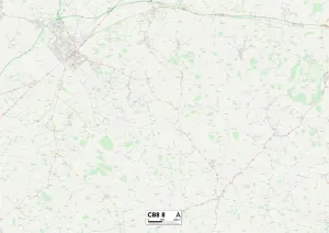
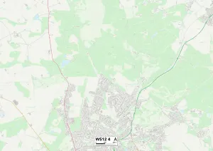
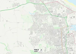
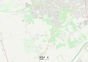
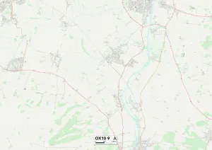
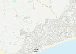
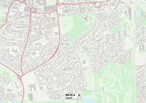
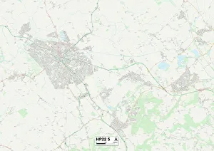
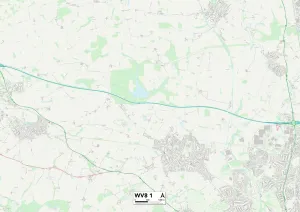
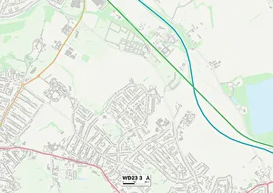
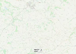
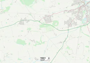
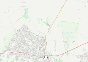
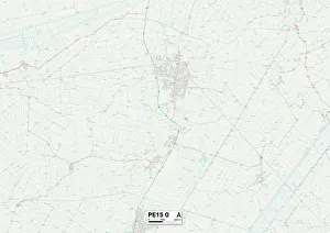
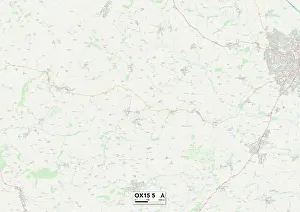
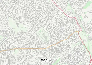
"Discover the Charm of Barley Close: A Journey Through Picturesque Towns and Countryside" Embark on a captivating adventure through the enchanting landscapes of Barley Close, where idyllic towns and breathtaking countryside await. Nestled in various locations across England, from Newmarket CB8 8 to Cannock Chase WS12 4, this hidden gem offers an array of delights for every traveler. Start your exploration in Hartlepool TS26 0, where history comes alive amidst charming cobblestone streets and stunning coastal views. Immerse yourself in Basildon SS16 6's vibrant atmosphere, with its bustling markets and lively community spirit. For nature enthusiasts, South Oxfordshire OX10 9 beckons with its sprawling green fields and tranquil riverside walks. Sussex PO21 3 invites you to unwind on its pristine beaches while soaking up the sun's warm embrace. Indulge in retail therapy at Crawley RH10 6's shopping districts or revel in the cultural offerings of Aylesbury Vale HP22 Wolverhampton WV8 1 will captivate you with its rich industrial heritage juxtaposed against modern marvels. Escape into Hertsmere WD23 3's peaceful surroundings as you explore picturesque parks and gardens that offer solace from urban life. North Yorkshire YO17 9 boasts majestic moorlands and quaint villages that exude timeless charm. Finally, immerse yourself in York YO8 9's medieval splendor as you wander through ancient streets steeped in history. Each location on this map holds unique treasures waiting to be discovered by intrepid adventurers like yourself. So pack your bags, grab a map, and let Barley Close guide you through a remarkable journey filled with beauty, culture, and unforgettable memories.