
Atlases Collection
"Exploring the World Through Atlases: A Journey through Time and Space" Step into the captivating world of atlases, where history, art, and geography intertwine


All Professionally Made to Order for Quick Shipping
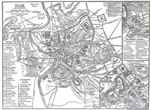
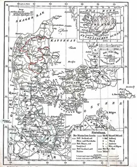
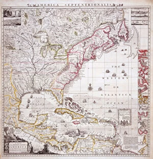
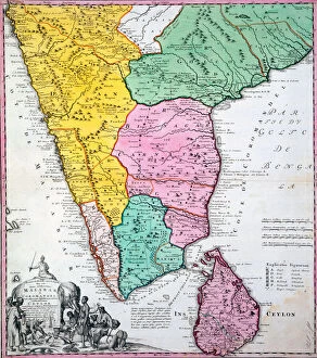
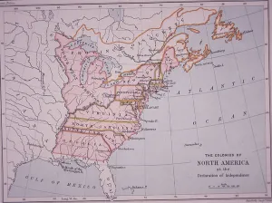
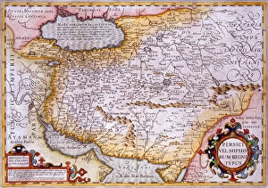
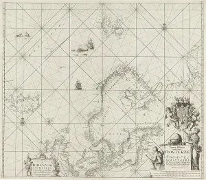
"Exploring the World Through Atlases: A Journey through Time and Space" Step into the captivating world of atlases, where history, art, and geography intertwine. From the graceful Bayadere Dancer to meticulously restored city maps from centuries past, these atlases offer a glimpse into different eras and cultures. Transport yourself to ancient Rome with a digitally restored reproduction of a city map from Emperor Augustus' time. Marvel at the intricate details that bring this historical treasure back to life, even though its exact original date remains unknown. Traveling further in time, discover Strasbourg in 1885 through another beautifully restored city map. This French gem showcases the charm and grandeur of an era long gone by. Expand your horizons as you explore Denmark and Prussian Province of Schleswig-Holstein circa 1890. This historically significant map sheds light on Germany's past while offering a window into its geographical landscape. In Buenos Aires, Argentina stands the Otto Wulff building adorned with magnificent "Atlases. " These architectural wonders showcase Jugendstil style while being framed by vibrant Jacaranda flowering plants. It's a sight that truly captures the essence of beauty meeting functionality. Delve deeper into artistry with Mercator and Ortelius depicted in oil on canvas. These iconic figures played pivotal roles in shaping cartography as we know it today. For those fascinated by colonial history, feast your eyes upon William Henry Toms' hand-colored engraving depicting "A Map of the British Empire in America. " Its intricate details provide insights into early settlements during this transformative period. Journey across oceans to India with an enchanting hand-colored engraving showcasing "Map of Indian Peninsula" from 1733. Let your imagination wander as you trace ancient trade routes etched onto this remarkable piece of history. Lastly, immerse yourself in American history with a color lithograph illustrating "The Colonies of North America at the Declaration of Independence.