
Atlas Collection (page 2)
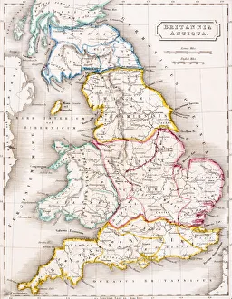
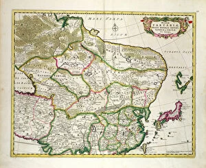
"Exploring the World through Atlas: Unveiling the Past and Present" Delving into history, the vintage Map of Ireland from 1897 takes us on a journey back in time


All Professionally Made to Order for Quick Shipping
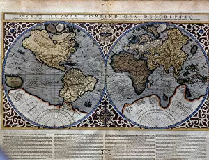
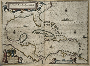
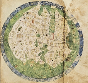
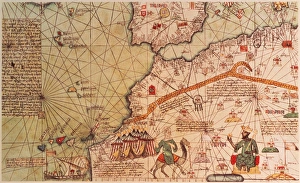
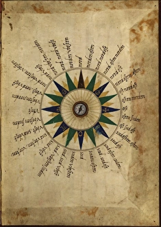
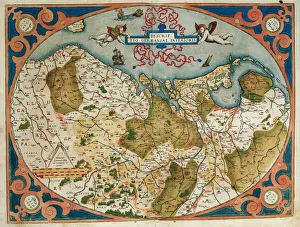
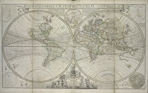
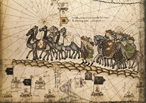
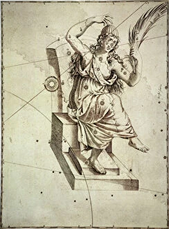
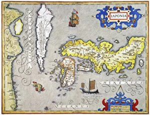
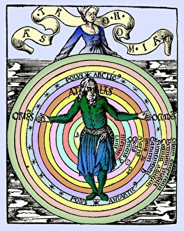
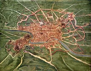
"Exploring the World through Atlas: Unveiling the Past and Present" Delving into history, the vintage Map of Ireland from 1897 takes us on a journey back in time, unraveling the secrets of this enchanting land. Witnessing scientific breakthroughs, the Higgs boson event captured by ATLAS detector C013 / 6892 at CERN unveils a whole new realm of particle physics. The Map of the World from 1882 serves as a window to an era long gone, offering glimpses into how our planet was perceived centuries ago. James Craig's intricate map showcases Edinburgh's New Town in 1768, providing insight into its early development and topography. Embarking on an adventure to Croatia with its captivating map that unravels hidden gems and scenic landscapes waiting to be explored. Dürer's world map from 1515 offers a glimpse into Renaissance cartography, showcasing both geographical knowledge and artistic finesse. The ATLAS detector at CERN continues to push boundaries in scientific exploration, enabling us to delve deeper into understanding fundamental particles and their interactions. Transported back in time with a mesmerizing 16th Century Plan of Florence; it reveals architectural wonders that have stood the test of time. A haunting reminder of war-torn Sheffield during WWII emerges through an Ordnance Survey map copied by Germans marked with bombing targets - bearing witness to resilience amidst adversity. With Delisle's ancient Greek maps dating back to 1794, we can trace footsteps across Southern Greece, Greek Isles, and Crete while exploring their rich topography steeped in mythological tales. Discovering Buenos Aires through its vibrant cityscape depicted on an alluring map invites you to immerse yourself in Argentine culture and charm.