Fraud Blocker Skip to main content

All Saints Road Collection

All Saints Road is a vibrant and diverse street that stretches across various cities in the UK

Background imageAll Saints Road Collection: Newmarket CB8 8 Map

Newmarket CB8 8 Map
Postcode Sector Map of Newmarket CB8 8

Background imageAll Saints Road Collection: Merton SW19 1 Map

Merton SW19 1 Map
Postcode Sector Map of Merton SW19 1

Background imageAll Saints Road Collection: Sutton SM1 3 Map

Sutton SM1 3 Map
Postcode Sector Map of Sutton SM1 3

Background imageAll Saints Road Collection: Ealing W3 8 Map

Ealing W3 8 Map
Postcode Sector Map of Ealing W3 8

Background imageAll Saints Road Collection: Sandwell WS10 9 Map

Sandwell WS10 9 Map
Postcode Sector Map of Sandwell WS10 9

Background imageAll Saints Road Collection: Leeds LS26 8 Map

Leeds LS26 8 Map
Postcode Sector Map of Leeds LS26 8

Background imageAll Saints Road Collection: Leicester LE3 5 Map

Leicester LE3 5 Map
Postcode Sector Map of Leicester LE3 5

Background imageAll Saints Road Collection: Bromsgrove B61 0 Map

Bromsgrove B61 0 Map
Postcode Sector Map of Bromsgrove B61 0

Background imageAll Saints Road Collection: Wolverhampton WV2 1 Map

Wolverhampton WV2 1 Map
Postcode Sector Map of Wolverhampton WV2 1

Background imageAll Saints Road Collection: North Yorkshire YO12 5 Map

North Yorkshire YO12 5 Map
Postcode Sector Map of North Yorkshire YO12 5

Background imageAll Saints Road Collection: Kensington and Chelsea W11 1 Map

Kensington and Chelsea W11 1 Map
Postcode Sector Map of Kensington and Chelsea W11 1

Background imageAll Saints Road Collection: Worcester WR1 2 Map

Worcester WR1 2 Map
Postcode Sector Map of Worcester WR1 2

Background imageAll Saints Road Collection: Torbay TQ1 3 Map

Torbay TQ1 3 Map
Postcode Sector Map of Torbay TQ1 3

Background imageAll Saints Road Collection: New Forest SO41 8 Map

New Forest SO41 8 Map
Postcode Sector Map of New Forest SO41 8

Background imageAll Saints Road Collection: Kennet SN10 4 Map

Kennet SN10 4 Map
Postcode Sector Map of Kennet SN10 4

Background imageAll Saints Road Collection: Tunbridge Wells TN18 4 Map

Tunbridge Wells TN18 4 Map
Postcode Sector Map of Tunbridge Wells TN18 4

Background imageAll Saints Road Collection: Hampshire PO1 4 Map

Hampshire PO1 4 Map
Postcode Sector Map of Hampshire PO1 4

Background imageAll Saints Road Collection: Staffordshire ST4 4 Map

Staffordshire ST4 4 Map
Postcode Sector Map of Staffordshire ST4 4

Background imageAll Saints Road Collection: Tunbridge Wells TN4 9 Map

Tunbridge Wells TN4 9 Map
Postcode Sector Map of Tunbridge Wells TN4 9

Background imageAll Saints Road Collection: Stockport SK4 1 Map

Stockport SK4 1 Map
Postcode Sector Map of Stockport SK4 1

Background imageAll Saints Road Collection: Oxford OX3 7 Map

Oxford OX3 7 Map
Postcode Sector Map of Oxford OX3 7

Background imageAll Saints Road Collection: Peterborough PE1 2 Map

Peterborough PE1 2 Map
Postcode Sector Map of Peterborough PE1 2

Background imageAll Saints Road Collection: Suffolk NR33 0 Map

Suffolk NR33 0 Map
Postcode Sector Map of Suffolk NR33 0

Background imageAll Saints Road Collection: Norfolk NR14 7 Map

Norfolk NR14 7 Map
Postcode Sector Map of Norfolk NR14 7

Background imageAll Saints Road Collection: Bedford MK44 3 Map

Bedford MK44 3 Map
Postcode Sector Map of Bedford MK44 3

Background imageAll Saints Road Collection: Bedford MK40 4 Map

Bedford MK40 4 Map
Postcode Sector Map of Bedford MK40 4

Background imageAll Saints Road Collection: Medway ME3 9 Map

Medway ME3 9 Map
Postcode Sector Map of Medway ME3 9

Background imageAll Saints Road Collection: Swale ME10 3 Map

Swale ME10 3 Map
Postcode Sector Map of Swale ME10 3

Background imageAll Saints Road Collection: Central Bedfordshire LU5 5 Map

Central Bedfordshire LU5 5 Map
Postcode Sector Map of Central Bedfordshire LU5 5

Background imageAll Saints Road Collection: Leicester LE7 7 Map

Leicester LE7 7 Map
Postcode Sector Map of Leicester LE7 7

Background imageAll Saints Road Collection: Mid Suffolk IP6 8 Map

Mid Suffolk IP6 8 Map
Postcode Sector Map of Mid Suffolk IP6 8

Background imageAll Saints Road Collection: Ipswich IP1 4 Map

Ipswich IP1 4 Map
Postcode Sector Map of Ipswich IP1 4

Background imageAll Saints Road Collection: Surrey Heath GU18 5 Map

Surrey Heath GU18 5 Map
Postcode Sector Map of Surrey Heath GU18 5

Background imageAll Saints Road Collection: Liverpool L24 3 Map

Liverpool L24 3 Map
Postcode Sector Map of Liverpool L24 3

Background imageAll Saints Road Collection: Wyre FY5 3 Map

Wyre FY5 3 Map
Postcode Sector Map of Wyre FY5 3

Background imageAll Saints Road Collection: Gloucester GL1 4 Map

Gloucester GL1 4 Map
Postcode Sector Map of Gloucester GL1 4

Background imageAll Saints Road Collection: Tewkesbury GL52 2 Map

Tewkesbury GL52 2 Map
Postcode Sector Map of Tewkesbury GL52 2

Background imageAll Saints Road Collection: Fylde FY8 1 Map

Fylde FY8 1 Map
Postcode Sector Map of Fylde FY8 1

Background imageAll Saints Road Collection: Stroud GL5 1 Map

Stroud GL5 1 Map
Postcode Sector Map of Stroud GL5 1

Background imageAll Saints Road Collection: Gloucester GL15 4 Map

Gloucester GL15 4 Map
Postcode Sector Map of Gloucester GL15 4

Background imageAll Saints Road Collection: Exeter EX10 8 Map

Exeter EX10 8 Map
Postcode Sector Map of Exeter EX10 8

Background imageAll Saints Road Collection: East Staffordshire DE14 3 Map

East Staffordshire DE14 3 Map
Postcode Sector Map of East Staffordshire DE14 3

Background imageAll Saints Road Collection: West Dorset DT1 1 Map

West Dorset DT1 1 Map
Postcode Sector Map of West Dorset DT1 1

Background imageAll Saints Road Collection: Weymouth and Portland DT4 9 Map

Weymouth and Portland DT4 9 Map
Postcode Sector Map of Weymouth and Portland DT4 9

Background imageAll Saints Road Collection: Derbyshire Dales DE4 3 Map

Derbyshire Dales DE4 3 Map
Postcode Sector Map of Derbyshire Dales DE4 3

Background imageAll Saints Road Collection: Gravesham DA11 0 Map

Gravesham DA11 0 Map
Postcode Sector Map of Gravesham DA11 0

Background imageAll Saints Road Collection: County Durham DL4 2 Map

County Durham DL4 2 Map
Postcode Sector Map of County Durham DL4 2

Background imageAll Saints Road Collection: Warwick CV34 5 Map

Warwick CV34 5 Map
Postcode Sector Map of Warwick CV34 5


All Professionally Made to Order for Quick Shipping

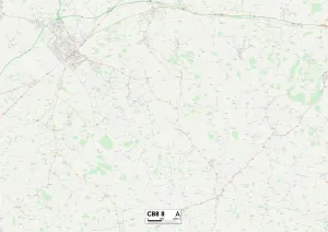
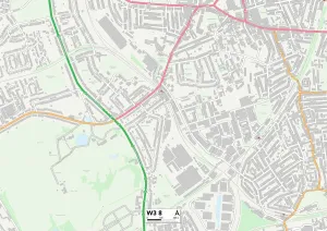
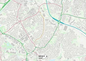
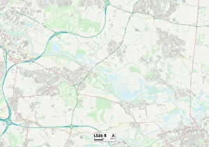
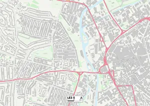
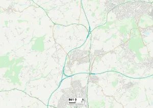
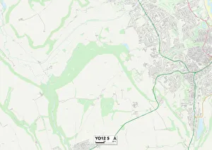
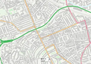
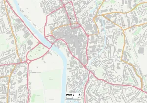
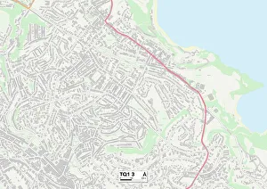
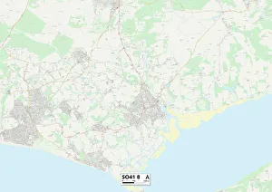
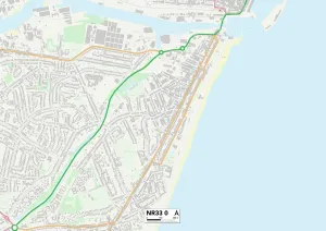
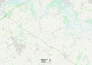
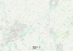
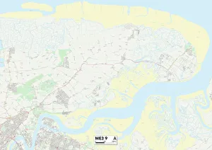
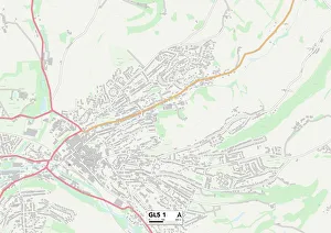
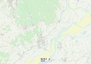
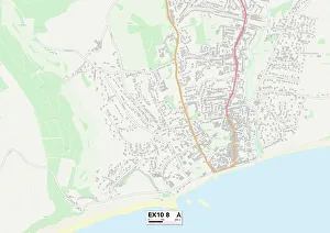
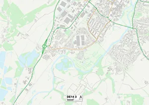
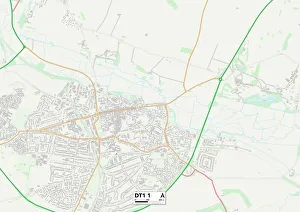
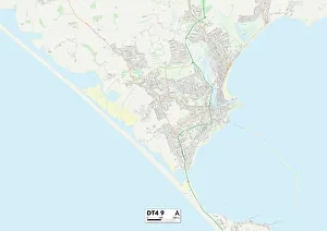
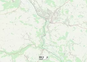
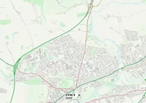
All Saints Road is a vibrant and diverse street that stretches across various cities in the UK. From Newmarket to Ealing, Sandwell to Leeds, Leicester to Bromsgrove, Wolverhampton to North Yorkshire, Kensington and Chelsea to Worcester, Torbay to the New Forest - this road connects communities far and wide. Each location along All Saints Road has its own unique charm and character. In Newmarket CB8 8 Map, you'll find horse racing enthusiasts galore as it's known for its prestigious racecourses. Ealing W3 8 Map offers a blend of suburban tranquility with bustling city life just around the corner. Sandwell WS10 9 Map boasts a rich industrial history while Leeds LS26 8 Map is renowned for its vibrant nightlife scene. Leicester LE3 5 Map showcases cultural diversity through its festivals and events. Bromsgrove B61 0 Map offers picturesque countryside views alongside charming market towns. Wolverhampton WV2 1 Map combines heritage with modernity as it embraces both traditional industries and contemporary developments. North Yorkshire YO12 5 Map captivates visitors with stunning landscapes including the breathtaking Yorkshire Moors. Kensington and Chelsea W11 1 Map exudes elegance with its upscale boutiques and luxurious residences. Worcester WR1 2Map invites you into a world of history through its magnificent cathedral dating back centuries. Torbay TQ1 3Map entices tourists with beautiful beaches perfect for relaxing getaways while the New Forest SO41 8Map immerses nature lovers in enchanting woodlands teeming with wildlife. No matter which part you visit, be prepared for an adventure filled with culture, history, natural beauty, or urban excitement - all within reach on this extraordinary road that unites these diverse locations across the United Kingdom.