
Alder Close Collection
"Alder Close: A Scenic Journey Across the UK" Embark on a picturesque journey through the diverse landscapes of the United Kingdom


All Professionally Made to Order for Quick Shipping
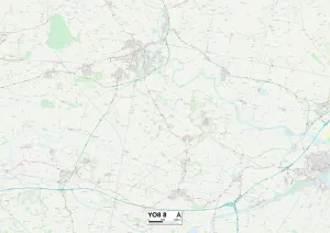
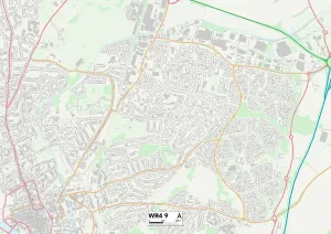
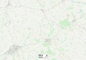
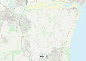
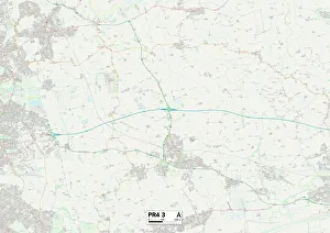
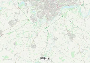
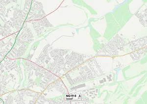
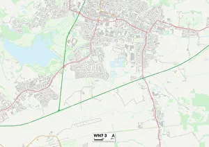
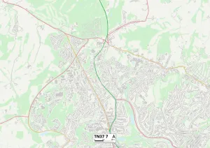
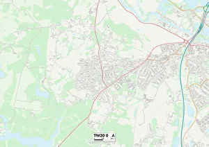
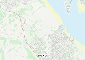
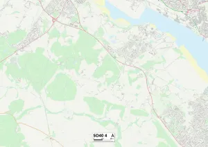
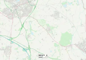
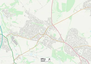
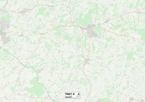
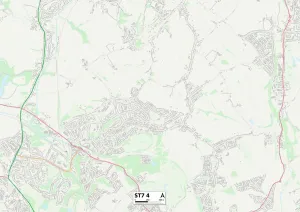
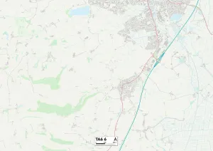
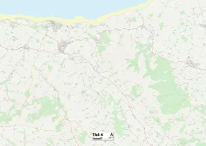
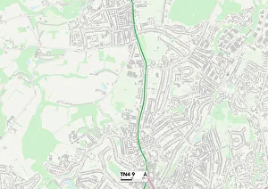
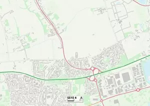
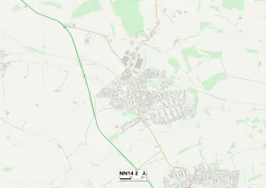
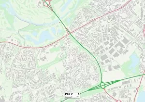
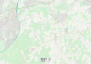
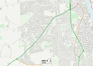
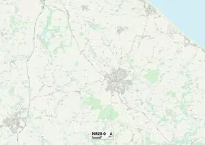
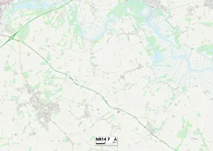
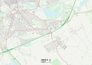
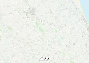
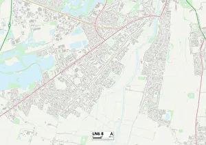
"Alder Close: A Scenic Journey Across the UK" Embark on a picturesque journey through the diverse landscapes of the United Kingdom, as we explore various locations connected by Alder Close. From historic towns to serene countryside, this captivating route takes us through York's charming streets (YO8 8), Worcester's tranquil neighborhoods (WR4 9), and Shropshire's idyllic countryside (TF9 4). Continuing our adventure, we find ourselves in Teignbridge (TQ12 4), where rolling hills meet stunning coastal views. As we venture further east, Norfolk welcomes us with its peaceful charm and scenic beauty (NR14 8). Heading northwards, Mansfield offers a taste of vibrant city life amidst its rich industrial heritage (NG19 0). Our next stop brings us to Hertsmere, where leafy suburbs blend seamlessly with urban amenities and green spaces (WD23 2). Further northwest lies Wigan, known for its proud sporting traditions and warm community spirit (WN7 3). The journey then takes an exciting turn towards Hastings' iconic seaside promenade and historical landmarks that tell tales of centuries past (TN37 7). As we near the end of our expedition along Alder Close, Runnymede captivates us with its riverside tranquility and significant historical importance (TW20 O). Finally arriving at New Forest (SO45 & SO40), nature enthusiasts will be enchanted by ancient woodlands teeming with wildlife. Alder Close serves as a gateway to discover some of the most breathtaking destinations across England. Whether you seek history or natural beauty, each location along this route promises unique experiences that will leave lasting memories. So pack your bags and embark on an unforgettable adventure along Alder Close.