Fraud Blocker Skip to main content

Albany Road Collection (page 2)

Albany Road, a name that echoes through various corners of the United Kingdom

Background imageAlbany Road Collection: Monmouthshire NP7 7 Map

Monmouthshire NP7 7 Map
Postcode Sector Map of Monmouthshire NP7 7

Background imageAlbany Road Collection: Isle of Wight PO32 6 Map

Isle of Wight PO32 6 Map
Postcode Sector Map of Isle of Wight PO32 6

Background imageAlbany Road Collection: Sefton PR9 0 Map

Sefton PR9 0 Map
Postcode Sector Map of Sefton PR9 0

Background imageAlbany Road Collection: Isle of Wight PO30 5 Map

Isle of Wight PO30 5 Map
Postcode Sector Map of Isle of Wight PO30 5

Background imageAlbany Road Collection: Caerphilly NP12 1 Map

Caerphilly NP12 1 Map
Postcode Sector Map of Caerphilly NP12 1

Background imageAlbany Road Collection: Suffolk NR32 1 Map

Suffolk NR32 1 Map
Postcode Sector Map of Suffolk NR32 1

Background imageAlbany Road Collection: Norfolk NR31 0 Map

Norfolk NR31 0 Map
Postcode Sector Map of Norfolk NR31 0

Background imageAlbany Road Collection: Enfield N18 2 Map

Enfield N18 2 Map
Postcode Sector Map of Enfield N18 2

Background imageAlbany Road Collection: Nottingham NG7 7 Map

Nottingham NG7 7 Map
Postcode Sector Map of Nottingham NG7 7

Background imageAlbany Road Collection: Northampton NN1 5 Map

Northampton NN1 5 Map
Postcode Sector Map of Northampton NN1 5

Background imageAlbany Road Collection: Norfolk NR3 1 Map

Norfolk NR3 1 Map
Postcode Sector Map of Norfolk NR3 1

Background imageAlbany Road Collection: Haringey N4 4 Map

Haringey N4 4 Map
Postcode Sector Map of Haringey N4 4

Background imageAlbany Road Collection: Bedford MK40 3 Map

Bedford MK40 3 Map
Postcode Sector Map of Bedford MK40 3

Background imageAlbany Road Collection: Lincoln LN11 8 Map

Lincoln LN11 8 Map
Postcode Sector Map of Lincoln LN11 8

Background imageAlbany Road Collection: Lincoln LN10 6 Map

Lincoln LN10 6 Map
Postcode Sector Map of Lincoln LN10 6

Background imageAlbany Road Collection: Medway ME7 4 Map

Medway ME7 4 Map
Postcode Sector Map of Medway ME7 4

Background imageAlbany Road Collection: Medway ME4 5 Map

Medway ME4 5 Map
Postcode Sector Map of Medway ME4 5

Background imageAlbany Road Collection: Manchester M21 0 Map

Manchester M21 0 Map
Postcode Sector Map of Manchester M21 0

Background imageAlbany Road Collection: Medway ME1 3 Map

Medway ME1 3 Map
Postcode Sector Map of Medway ME1 3

Background imageAlbany Road Collection: Salford M30 8 Map

Salford M30 8 Map
Postcode Sector Map of Salford M30 8

Background imageAlbany Road Collection: Swale ME10 4 Map

Swale ME10 4 Map
Postcode Sector Map of Swale ME10 4

Background imageAlbany Road Collection: South Lanarkshire ML3 8 Map

South Lanarkshire ML3 8 Map
Postcode Sector Map of South Lanarkshire ML3 8

Background imageAlbany Road Collection: Central Bedfordshire LU7 1 Map

Central Bedfordshire LU7 1 Map
Postcode Sector Map of Central Bedfordshire LU7 1

Background imageAlbany Road Collection: Knowsley L34 6 Map

Knowsley L34 6 Map
Postcode Sector Map of Knowsley L34 6

Background imageAlbany Road Collection: Leeds LS26 0 Map

Leeds LS26 0 Map
Postcode Sector Map of Leeds LS26 0

Background imageAlbany Road Collection: Liverpool L9 0 Map

Liverpool L9 0 Map
Postcode Sector Map of Liverpool L9 0

Background imageAlbany Road Collection: Liverpool L7 8 Map

Liverpool L7 8 Map
Postcode Sector Map of Liverpool L7 8

Background imageAlbany Road Collection: Lancaster LA4 4 Map

Lancaster LA4 4 Map
Postcode Sector Map of Lancaster LA4 4

Background imageAlbany Road Collection: Kingston upon Thames KT3 3 Map

Kingston upon Thames KT3 3 Map
Postcode Sector Map of Kingston upon Thames KT3 3

Background imageAlbany Road Collection: Liverpool L13 3 Map

Liverpool L13 3 Map
Postcode Sector Map of Liverpool L13 3

Background imageAlbany Road Collection: Highland IV18 0 Map

Highland IV18 0 Map
Postcode Sector Map of Highland IV18 0

Background imageAlbany Road Collection: Hart GU51 3 Map

Hart GU51 3 Map
Postcode Sector Map of Hart GU51 3

Background imageAlbany Road Collection: Harrogate HG1 4 Map

Harrogate HG1 4 Map
Postcode Sector Map of Harrogate HG1 4

Background imageAlbany Road Collection: Kirklees HD5 0 Map

Kirklees HD5 0 Map
Postcode Sector Map of Kirklees HD5 0

Background imageAlbany Road Collection: Tewkesbury GL50 2 Map

Tewkesbury GL50 2 Map
Postcode Sector Map of Tewkesbury GL50 2

Background imageAlbany Road Collection: Fylde FY8 4 Map

Fylde FY8 4 Map
Postcode Sector Map of Fylde FY8 4

Background imageAlbany Road Collection: Newham E12 5 Map

Newham E12 5 Map
Postcode Sector Map of Newham E12 5

Background imageAlbany Road Collection: Hackney E10 7 Map

Hackney E10 7 Map
Postcode Sector Map of Hackney E10 7

Background imageAlbany Road Collection: Enfield EN3 5 Map

Enfield EN3 5 Map
Postcode Sector Map of Enfield EN3 5

Background imageAlbany Road Collection: Waltham Forest E17 8 Map

Waltham Forest E17 8 Map
Postcode Sector Map of Waltham Forest E17 8

Background imageAlbany Road Collection: Exeter EX4 1 Map

Exeter EX4 1 Map
Postcode Sector Map of Exeter EX4 1

Background imageAlbany Road Collection: Derby DE22 3 Map

Derby DE22 3 Map
Postcode Sector Map of Derby DE22 3

Background imageAlbany Road Collection: Weymouth and Portland DT4 9 Map

Weymouth and Portland DT4 9 Map
Postcode Sector Map of Weymouth and Portland DT4 9

Background imageAlbany Road Collection: Stratford-on-Avon CV37 6 Map

Stratford-on-Avon CV37 6 Map
Postcode Sector Map of Stratford-on-Avon CV37 6

Background imageAlbany Road Collection: Bexley DA5 3 Map

Bexley DA5 3 Map
Postcode Sector Map of Bexley DA5 3

Background imageAlbany Road Collection: Doncaster DN4 0 Map

Doncaster DN4 0 Map
Postcode Sector Map of Doncaster DN4 0

Background imageAlbany Road Collection: Coventry CV5 6 Map

Coventry CV5 6 Map
Postcode Sector Map of Coventry CV5 6

Background imageAlbany Road Collection: Dundee DD5 1 Map

Dundee DD5 1 Map
Postcode Sector Map of Dundee DD5 1


All Professionally Made to Order for Quick Shipping

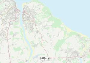
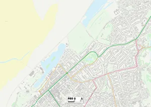
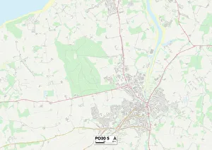
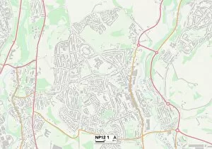
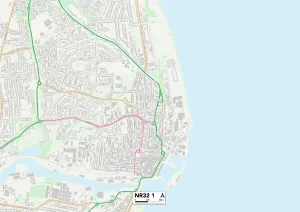
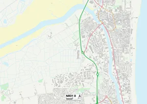
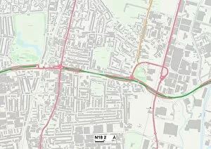
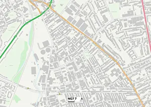
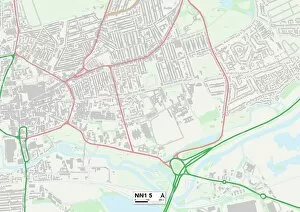
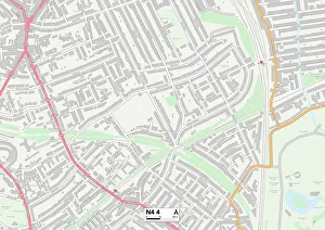
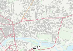
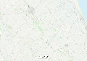
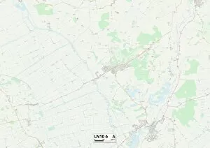
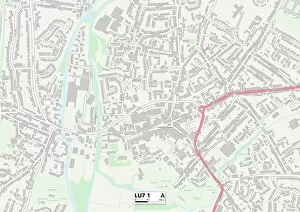
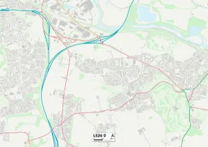
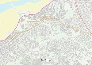
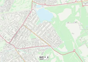
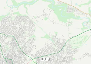
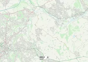
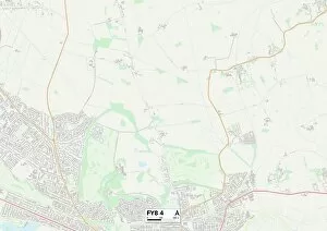
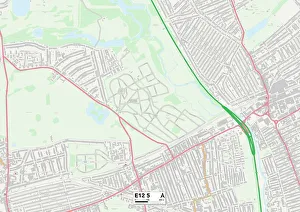
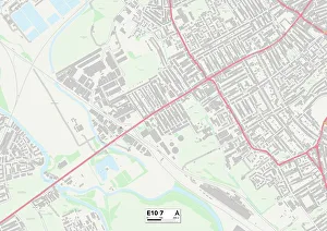
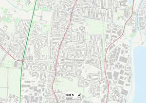
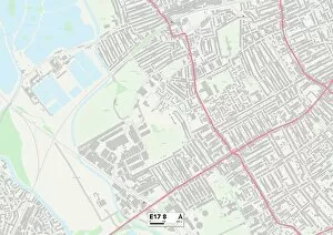
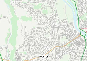
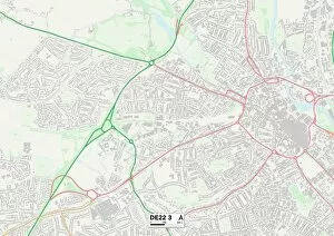
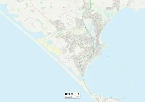
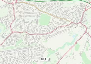
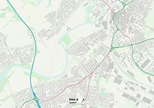
Albany Road, a name that echoes through various corners of the United Kingdom. From the picturesque landscapes of Wyre to the vibrant streets of Richmond upon Thames, this road connects communities and weaves stories across different regions. Starting in Wyre FY7 7, Albany Road stretches its arms wide, inviting locals and visitors alike to explore its hidden treasures. The map reveals a path filled with charm and character as it winds through Richmond upon Thames TW10 6, where history whispers from every corner. Stroll along this road and you'll find yourself immersed in a tapestry of culture, art, and sophistication. As Albany Road continues its journey towards Barking and Dagenham RM6 6 Map, it embraces diversity at every turn. This bustling neighborhood is alive with energy as people from all walks of life come together to create a vibrant community. The map guides us further into Basildon SS12 9 Map where modernity meets tradition - an amalgamation that paints a unique picture on Albany Road's canvas. Crawley RH11 7 Map welcomes us next with open arms as we traverse down Albany Road's captivating route. Here lies a town brimming with opportunities for adventure seekers and nature enthusiasts alike. As we move forward towards Harborough LE16 7 Map, tranquility takes center stage amidst rolling hills and idyllic countryside views. Gateshead NE8 3 Map beckons us onwards; here lies an urban landscape teeming with creativity and innovation that reflects the spirit itself. Middlesbrough TS7 8 Map follows suit – an area pulsating with youthful energy while embracing its rich industrial heritage. Ealing W13 8 Map greets us warmly as our journey progresses westward along Albany Road's meandering path. This leafy suburb offers respite from city life while still being within reach of London's bustling heart.