Fraud Blocker Skip to main content

Home > Europe > Poland > Maps

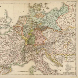
Prussia and german states map 1867

Prussia and german states map 1867


Canvas Prints
Fine Art Prints
Metal Prints
Home Decor


We accept all major credit cards

Fine Art Storehouse

Wall Art and Photo Gifts from Fine Art Storehouse

Prussia and german states map 1867

Mitchellas Modern Atlas - Published by E.H. Butler and Co - Philadelphia 1867

Unleash your creativity and transform your space into a visual masterpiece!

THEPALMER

Media ID 13609203

© This content is subject to copyright

German Culture Poland Prussia


FEATURES IN THESE COLLECTIONS

> Arts > Modern art pieces

> Europe > Germany > Maps

> Europe > Poland > Maps

> Fine Art Storehouse > Map > Historical Maps

> Fine Art Storehouse > Map > USA Maps

> Fine Art Storehouse > Map

> Maps and Charts > Early Maps

> Maps and Charts > Germany

> Maps and Charts > Poland

> North America > United States of America > Maps


EDITORS COMMENTS
This print showcases a historical gem, the "Prussia and German States Map 1867" taken from Mitchellas Modern Atlas and published by E. H. Butler and Co in Philadelphia back in 1867. The image portrays an intricate engraving of the map, capturing the essence of German culture during that era. The map itself is a testament to the rich history of Germany, with its detailed cartography depicting not only Prussia but also various other German states. It offers a glimpse into the political landscape of the time, showcasing borders and regions that have since evolved or disappeared altogether. The craftsmanship evident in this old lithograph is truly remarkable; every line etched with precision tells a story about physical geography and territorial divisions. As one gazes upon it, they are transported back to an age when maps were meticulously hand-drawn works of art rather than digital renderings. This particular print captures not just a piece of history but also serves as a reminder of how far we have come in terms of mapping technology. It stands as a tribute to both American publishing excellence (being printed by E. H. Butler & Co) and European cartographic expertise. "The Prussia and German States Map 1867" by THEPALMER is more than just an antique; it represents our fascination with exploration, cultural heritage, and our ever-evolving understanding of our world's past.

MADE IN THE USA
Safe Shipping with 30 Day Money Back Guarantee

FREE PERSONALISATION*
We are proud to offer a range of customisation features including Personalised Captions, Color Filters and Picture Zoom Tools

SECURE PAYMENTS
We happily accept a wide range of payment options so you can pay for the things you need in the way that is most convenient for you

* Options may vary by product and licensing agreement. Zoomed Pictures can be adjusted in the Cart.


redeem
Beautiful Photo Prints and Gifts
image
Professionally Printed
inventory
Photo Prints are in stock
thumb_up
Professional quality finish
diamond
Made with high-grade materials
inventory_2
Carefully packed to aid safe arrival


Related Images


Poland, Greater Poland, Poznan, Old Town, Market Square
Poland, Lublin Voivodeship, Zamosc, Elevated view of the Old Town with City Hall
Poland, Masovian Voivodeship, Warsaw, Old Town, Castle Square, Sigismunds Column
Ksiaz (Schloss Furstenstein) castle, Silesia, Poland
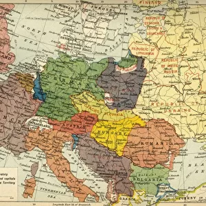
The Partition of Europe under Treaties of Paris, June 1919, (c1920). Creator: Unknown
Hever Castle, dating from the 13th century, childhood home of Anne Boleyn, Kent, England, United Kingdom, Europe
Tree cave in an Ancient Beech -Fagus-, Jasmund National Park, Rugen, Mecklenburg-Western Pomerania, Germany
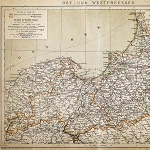
Prussia
Prussia
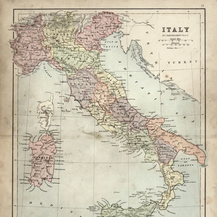
Antique Damaged Map of Italy 19th Century
Detailed map of Europe
Map of Prussia, c1872. Creator: Unknown
Map of Ukraine
Map of Ukraine

+

Shipping

+

Choices

+

Reviews

+

Guaranteed


Related Collections


Early Maps
Early Maps
Browse 24,907 Prints
Map
Map
Browse 9,856 Prints
Maps
Maps
Browse 5,294 Prints
Maps
Maps
Browse 285 Prints
Maps
Maps
Browse 4,129 Prints
Germany
Germany
Browse 5,414 Prints
Poland
Poland
Browse 197 Prints
USA Maps
USA Maps
Browse 722 Prints
Historical Maps
Historical Maps
Browse 3,307 Prints
Modern art pieces
Modern art pieces
Browse 78,021 Prints