Home > Maps and Charts > Americas
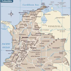
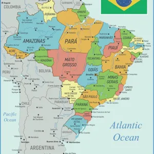
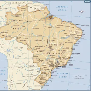
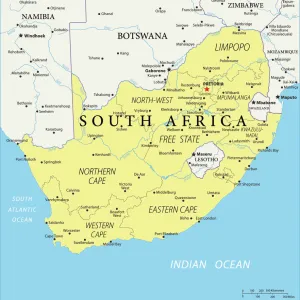
political map of south america in vector format

![]()
Wall Art and Photo Gifts from Fine Art Storehouse
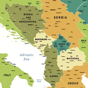
political map of south america in vector format
you can select/edit every state
Unleash your creativity and transform your space into a visual masterpiece!
Media ID 14457461
FEATURES IN THESE COLLECTIONS
> South America
> Related Images
EDITORS COMMENTS
This print showcases a meticulously detailed political map of South America in vector format, offering an immersive and dynamic visual experience. With the ability to select and edit every state, this artwork allows for personalized exploration and analysis of the continent's diverse nations. The vibrant colors and intricate design capture the essence of South America's rich cultural heritage, while also providing a valuable educational resource. Whether you are an avid traveler, a geography enthusiast, or simply curious about this fascinating region, this print offers endless possibilities for discovery. From the towering peaks of the Andes to the lush Amazon rainforest, each state is beautifully represented with precision and accuracy. This art piece serves as both a decorative addition to any space and an informative tool that sparks conversations about history, politics, and regional dynamics. The Fine Art Storehouse has masterfully curated this exceptional print without mentioning commercial use. It invites viewers to appreciate its aesthetic appeal while encouraging them to delve deeper into understanding South America's geopolitical landscape. Perfectly suited for homes, offices, or educational institutions alike; it is sure to captivate minds young and old with its blend of artistic finesse and geographical significance. Embrace the opportunity to explore South America like never before through this remarkable print – an invitation into a world waiting to be discovered!
MADE IN THE USA
Safe Shipping with 30 Day Money Back Guarantee
FREE PERSONALISATION*
We are proud to offer a range of customisation features including Personalised Captions, Color Filters and Picture Zoom Tools
SECURE PAYMENTS
We happily accept a wide range of payment options so you can pay for the things you need in the way that is most convenient for you
* Options may vary by product and licensing agreement. Zoomed Pictures can be adjusted in the Cart.