Fraud Blocker Skip to main content

Historic map of London (18th Century)

Historic map of London (18th Century)
Sold 1
In Stock
We accept all major payment options so you can pay for the things you need in the way that is most convenient for you
Framed Photos
Buy from $79.99
Photo Prints
Buy from $9.99
Jigsaw Puzzles
Buy from $39.99
Poster Prints
Buy from $24.99
Canvas Prints
Buy from $99.99
Fine Art Prints
Buy from $60.90
Metal Prints
Buy from $169.99
Home Decor
Buy from $16.99

Fine Art Storehouse Photo Prints and Wall Art

Historic map of London (18th Century)

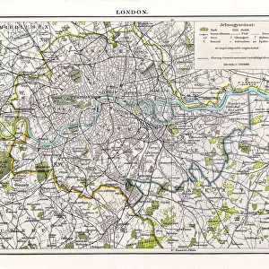
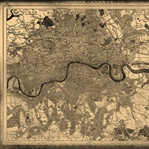
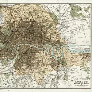
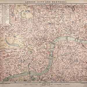
map/plan of the inner city of London from 1898. Unleash your creativity and transform your space into a visual masterpiece. © Nikola Nastasic

Nastasic

Media ID 15241457

City Map City Of London City Of Westminster Greater London Hyde Park London Image Created 1890 1899 Inner London Inside Of Kensington And Chelsea Lambeth London England Navigational Equipment Northern Europe Regents Park Sepia Toned Southeast England Styles Thames River Thoroughfare Urban Road Vignette Image Created 19th Century Obsolete Retro Styled Urban Scene Victorian Style

SECURE PAYMENTS
We accept all major payment options so you can pay for the things you need in the way that is most convenient for you

Made in USA
Safe Shipping, Easy Returns

FREE PERSONALISATION
We are proud to offer a range of customisation including Cropping, Captions, and Filters. Zoom Cropping can be adjusted in the basket


EDITORS COMMENTS

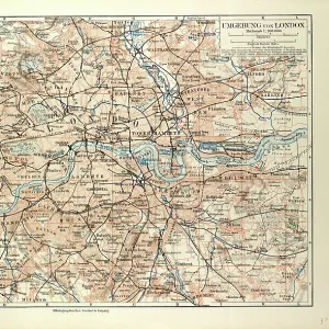
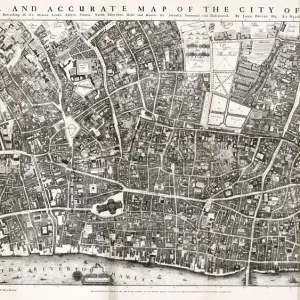
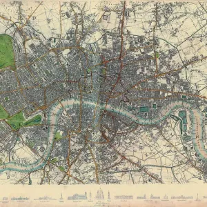
This print takes us back in time to the bustling streets of 18th century London. With its retro styling and vignette effect, it exudes a sense of nostalgia for a bygone era. The intricate details of this antique engraved image transport us to the heart of the city, offering a glimpse into its rich history. The map showcases the inner city of London as it stood in 1898, during the height of Victorian England. From Regents Park to Hyde Park, from Lambeth to Kensington and Chelsea, every corner is meticulously depicted with precision and artistry. It encompasses not only the City of Westminster but also Greater London itself. As we explore this sepia-toned urban scene, we are reminded that this was an age before modern navigational equipment guided our way. Instead, people relied on beautifully crafted maps like these to navigate their journeys through the winding streets and along the Thames River. This print serves as a testament to both cartography as an art form and London's enduring legacy as one of Europe's great cities. It invites us to immerse ourselves in history and appreciate how much has changed since those times gone by. As we gaze upon this illustration created over a century ago, we can't help but feel connected to those who once walked these same roads and experienced life in this vibrant metropolis known simply as London.


Framed Prints of Historic map of London (18th Century)

Introducing the Historic Map of London (18th Century) Framed Print from our Media Storehouse Fine Art collection. This exquisite piece of art transports you back in time, offering a captivating glimpse into the past. Created by Nastasic, this detailed and intricately designed map showcases the inner city of London as it appeared in the 18th century. The intricate lines, historic landmarks, and meticulous labeling make this an essential addition to any room, adding a touch of history and charm. With its antique aesthetic and high-quality craftsmanship, this framed print is sure to become a cherished conversation starter and a beautiful decorative piece in your home or office. Bring the rich history of London right into your space with the Historic Map of London (18th Century) Framed Print from Media Storehouse and the Fine Art Storehouse.


Photo Prints of Historic map of London (18th Century)

Discover the rich history of London with our exquisite "Historic Map of London (18th Century)" print by Nastasic, exclusively available in the Media Storehouse Fine Art Storehouse. This stunning piece transports you back in time, offering a captivating glimpse into the inner city of London as it appeared over 300 years ago. With intricate detail and accurate depiction, this 18th century map provides a unique perspective on the evolution of the city. Bring history into your home or office and add character to any space with this beautiful, high-quality fine art print.


Poster Prints of Historic map of London (18th Century)

Discover the rich history of London with our stunning Historic Map of London print from Fine Art Storehouse, part of the Media Storehouse collection. This captivating 18th century map, created by Nastasic, offers a fascinating glimpse into the inner city of London during an era of great transformation. With intricate details and beautiful color palette, this historic map is not just a decorative piece, but a window into the past. Bring history into your home or office and transport yourself to a time when horse-drawn carriages roamed the cobblestone streets of London. A perfect addition to any room, this museum-quality poster print is sure to impress and inspire.


Jigsaw Puzzles of Historic map of London (18th Century)

Discover the rich history of London with our captivating jigsaw puzzle from Media Storehouse and the Fine Art Storehouse collection. This intricately detailed puzzle features an historic map of London from the 18th century by Nastasic. Transport yourself back in time as you piece together the labyrinthine streets and landmarks of the inner city, as they appeared over 300 years ago. With each completed section, uncover hidden gems of London's past, from grand architectural wonders to quaint marketplaces. Perfect for puzzle enthusiasts or history buffs, this challenging and rewarding puzzle is a must-have for any home or office. Engage your mind and unlock the stories that lie within the lines of this stunning, vintage map.

diamond
Made With High Grade Materials
thumb_up
Professional Quality Finish
package_2
Carefully Packed To Aid Safe Arrival

You May Also Like


London city mapLondon city map
Add to Basket
Antquie Map of London, 1895Antquie Map of London, 1895
Add to Basket
MAP / LONDON 1878MAP / LONDON 1878
Add to Basket
Historic map of LondonHistoric map of London
Add to Basket
Old Map of London 1851 by John TallisOld Map of London 1851 by John Tallis
Add to Basket
Battle of Waterloo map J020089Battle of Waterloo map J020089
Add to Basket
Historic map of London (18th Century)Historic map of London (18th Century)
Add to Basket
Map of the City of London by John Ogilby 1676. Ogilby (also OgelbyMap of the City of London by John Ogilby 1676. Ogilby (also Ogelby
Add to Basket
Map of LondonMap of London
Add to Basket
Otto Von BismarckOtto Von Bismarck
Add to Basket
Queen Maeve / LeyendeckerQueen Maeve / Leyendecker
Add to Basket
Zeppelin over CologneZeppelin over Cologne
Add to Basket

Gallery Wall Inspiration

Map Of New Holland
Antique map of Britain under the Anglo Saxons
Battle Of Waterloo
Antique map of the Roman Empire
Map of Cyprus, published in 1880
Map of Middle East - illustration
Earth map according to Herodotus
Antique Map of Norwich, England, 1880
Antique map of Ancient Syria, Mesopotamia, Assyria, Atlas of Ancient Geography
Map of Anglo-Saxon Kingdoms and the Danelaw, 9th Century
Map of North and East sea 1896
Antique map of Britain under the Ancient Romans
Apostle Pauls Missionary Journeys, lithograph, published in 1886
Sicily map 1895
Map of Ireland 1897
Antique map of Tasmania
England in the Ninth Century
Old map of Australia 1899
Ethnological map of the Austro-Hungarian Empire, lithograph, published in 1897
Cornwall map 1884
Antique map of Ireland
Old Caucasus map
Map of Portugal
Carte du Tendre: imaginary map by a character in the novel Cl├®lie
Map of Whitby
Antique map, Scotland, Isle of Skye, South and North Uist
Map of the Byzantine Empire in the 9th Century


© Copyright Media Storehouse, All Rights Reserved 2003 - 2024
Facebook     Pinterest     100% Payment Secure     Reviews IO