Home > Animals > Birds > Gruiformes > Rallidae > Virginia Rail
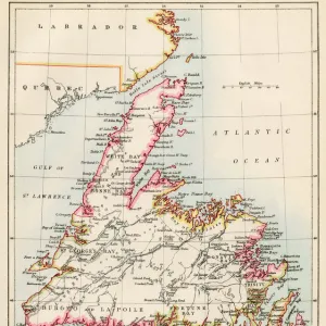
Railroad Map of the Eastern States, New England, 1856
![]()

Wall Art and Photo Gifts from Fine Art Finder
Railroad Map of the Eastern States, New England, 1856
2902812 Railroad Map of the Eastern States, New England, 1856; (add.info.: Map of New England, part of eastern Canada, New York, Pennsylvania, New Jersey, Delaware, most of Maryland, and part of Virginia. Shows drainage, some relief by hachures, place names, and state boundaries. Names of rail roads which are designated by numbers on the annexed Plan of the New England States appear at the right of the map.); Buyenlarge Archive/UIG
Media ID 38316756
© Buyenlarge Archive/UIG / Bridgeman Images
1850s Cartographic Eastern New England Railroad
FEATURES IN THESE COLLECTIONS
> Animals
> Birds
> Gruiformes
> Rallidae
> Virginia Rail
> Europe
> United Kingdom
> England
> Maps
> Europe
> United Kingdom
> England
> Railways
> Europe
> United Kingdom
> England
> York
> Fine Art Finder
> Artists
> Noel Rooke
> North America
> Canada
> Maps
> North America
> United States of America
> Delaware
> Related Images
> North America
> United States of America
> Maps
> North America
> United States of America
> Maryland
> Related Images
> North America
> United States of America
> New Jersey
> Related Images
EDITORS COMMENTS
This stunning vintage print showcases a detailed Railroad Map of the Eastern States, New England from 1856. The map covers a vast area including parts of eastern Canada, New York, Pennsylvania, New Jersey, Delaware, Maryland, and Virginia. It is not only a historical document but also a work of art with intricate details such as drainage patterns and relief shown by hachures.
One can marvel at the names of various place names and state boundaries depicted on this map. What makes this piece truly unique is the inclusion of numbered railroads on an annexed plan to the right of the map. This feature allows viewers to easily identify and trace different railway routes in this region during the mid-19th century.
As you gaze upon this Railroad Map of the Eastern States from over 150 years ago, you are transported back in time to an era when rail travel was revolutionizing transportation in America. This print serves as a reminder of how far we have come in terms of connectivity and infrastructure development since then.
Whether you are a history buff or simply appreciate cartographic artistry, this print is sure to captivate your imagination and spark curiosity about the past.
MADE IN THE USA
Safe Shipping with 30 Day Money Back Guarantee
FREE PERSONALISATION*
We are proud to offer a range of customisation features including Personalised Captions, Color Filters and Picture Zoom Tools
SECURE PAYMENTS
We happily accept a wide range of payment options so you can pay for the things you need in the way that is most convenient for you
* Options may vary by product and licensing agreement. Zoomed Pictures can be adjusted in the Cart.


