
Maps Collection (page 5)
Maps of Herefordshire England United Kingdom Europe are physical maps that provide detailed information about the area
237 items


All Professionally Made to Order for Quick Shipping
-
Maps Collection
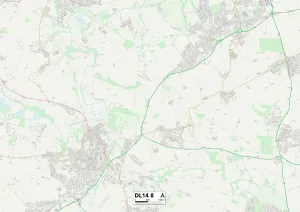
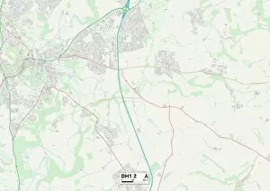
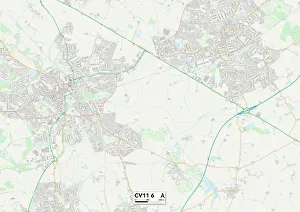
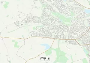
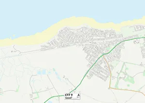
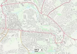
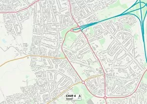
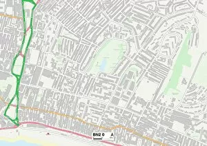
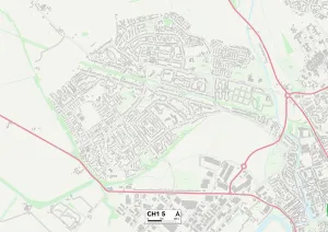
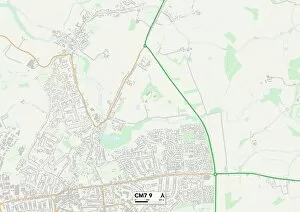
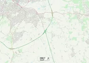
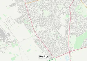
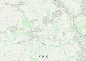
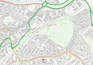
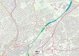
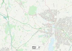
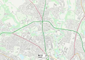
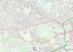
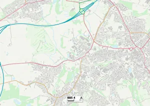
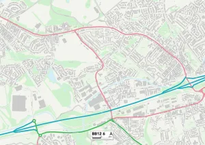
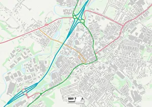
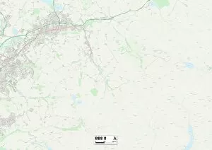
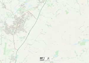
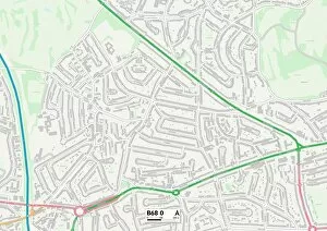
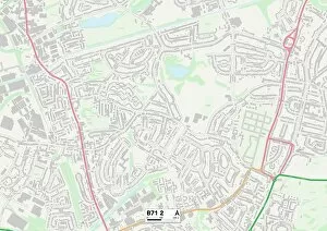
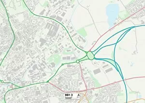
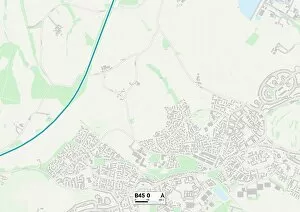
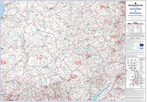
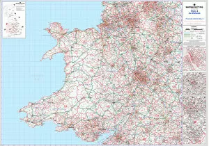
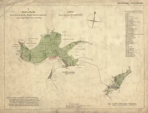
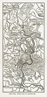
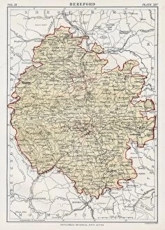
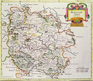
Maps of Herefordshire England United Kingdom Europe are physical maps that provide detailed information about the area. They show the major roads, cities and towns, rivers and lakes, as well as other geographical features such as mountains and forests. they also include political boundaries between countries, regions and provinces. Additionally, they provide information on population density, climate zones and other important data. Maps of Herefordshire England United Kingdom Europe are an invaluable tool for anyone looking to explore this region or plan a trip there. With their detailed information they make it easy to find your way around or plan a route from one place to another.
+
Our beautiful pictures are available as Framed Prints, Photos, Wall Art and Photo Gifts
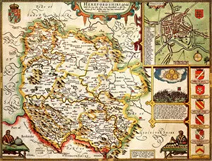
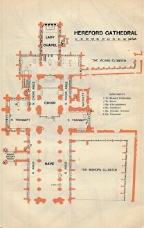
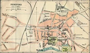
The Maps of Herefordshire England United Kingdom Europe collection from Media Storehouse is a stunning assortment of wall art, framed prints, photo prints, canvas prints, jigsaw puzzles and greeting cards. Our collection features an array of maps that showcase the beautiful county of Herefordshire in England. The maps are intricately detailed and highlight various regions within the county such as Leominster, Ross-on-Wye and Ledbury. They also depict important landmarks like castles, churches and rivers. These pieces would be perfect for anyone who loves history or geography or has a connection to Herefordshire. They can add character to any room in your home or office space with their unique designs and vibrant colours. Whether you prefer traditional framing or modern canvases, our collection offers something for everyone's taste. The Maps of Herefordshire England United Kingdom Europe collection from Media Storehouse is a must-have for anyone looking to add some charm to their living spaces while celebrating the beauty of this historic English county.
+
What are Maps of Herefordshire England United Kingdom Europe art prints?
Maps of Herefordshire England United Kingdom Europe art prints are high-quality reproductions of antique and contemporary maps depicting the region of Herefordshire in England, as well as its surrounding areas in the United Kingdom and Europe. These art prints showcase intricate details such as towns, cities, rivers, mountains, forests, and other geographical features that make up this beautiful part of the world. These maps are not only visually stunning but also serve a practical purpose for those interested in history or geography. They can be used to trace family roots or explore historical events that took place in the area. Additionally, they make great decorative pieces for homes or offices with an interest in cartography or travel. We offer a wide selection of Maps of Herefordshire England United Kingdom Europe art prints to suit any taste or budget. Whether you're looking for a vintage map from centuries ago or a modern interpretation of the region's topography, there is something here for everyone.
+
What Maps of Herefordshire England United Kingdom Europe art prints can I buy from Media Storehouse?
We offer a wide range of art prints featuring maps of Herefordshire, England, United Kingdom and Europe. These maps are available in various styles and sizes to suit your preferences. You can choose from antique-style maps that showcase the historical evolution of Herefordshire or modern-day roadmaps that highlight the current infrastructure and landmarks. The collection includes detailed topographical maps that depict the terrain features of Herefordshire's countryside, including hills, rivers, forests and valleys. Additionally, you can find political maps that show administrative boundaries such as counties and cities within Herefordshire. In addition to localised prints for Herefordshire itself there is also a selection of European map prints which include countries like France, Germany and Spain. These are perfect for those who want to explore beyond their own borders. Whether you're looking for an educational resource or simply wish to decorate your home with beautiful artwork showcasing different regions around the world Media Storehouse has something suitable for everyone’s needs.
+
How do I buy Maps of Herefordshire England United Kingdom Europe art prints?
To purchase Maps of Herefordshire England United Kingdom Europe art prints from Media Storehouse, you can browse our extensive collection online. We offer a variety of maps in different styles and sizes to suit your preferences. Once you have found the map that you would like to purchase, simply add it to your cart and proceed to checkout. We accept various payment methods including credit card, PayPal, and Apple Pay. After completing your order, they will process it promptly and send out your print as soon as possible. Their high-quality prints are produced using state-of-the-art printing technology on premium paper stock for optimal durability and longevity. Whether you're looking for a vintage-style map or a modern interpretation of Herefordshire's geography, we have something for everyone. Buying Maps of Herefordshire England United Kingdom Europe art prints from Media Storehouse is quick and easy - just select your preferred print(s), pay securely online, sit back and wait for them to arrive at your doorstep.
+
How much do Maps of Herefordshire England United Kingdom Europe art prints cost?
We offer a wide range of art prints featuring maps of Herefordshire, England, United Kingdom and Europe. Our prices vary depending on the size and type of print you choose. We have options for both framed and unframed prints in various sizes to suit your needs. Our art prints are high-quality reproductions that capture every detail of the original map artwork. We take pride in offering affordable prices without compromising on quality. Whether you're looking for a vintage-style map or a modern interpretation, we have something to suit all tastes and budgets. Our maps make great gifts for history buffs, geography enthusiasts or anyone who loves unique wall decor. They also serve as educational tools for schools or libraries. Our selection of Herefordshire England United Kingdom Europe art prints is competitively priced and offers excellent value for money.
+
How will my Maps of Herefordshire England United Kingdom Europe art prints be delivered to me?
Your Maps of Herefordshire England United Kingdom Europe art prints will be delivered to you securely and efficiently. We use trusted shipping partners who specialize in delivering artwork, ensuring that your prints arrive in pristine condition. Our packaging is designed to protect the prints from any damage during transit. We offer a range of delivery options to suit your needs, including standard and express delivery services. You can track the progress of your order online using our tracking service, which provides real-time updates on the status of your shipment. Once your order has been dispatched, we will send you an email confirmation with all the details you need to know about its delivery. If you have any questions or concerns about the delivery process, please do not hesitate to contact our customer support team who are always happy to help.