Home > Arts > Artists > T > Isaac Taylor
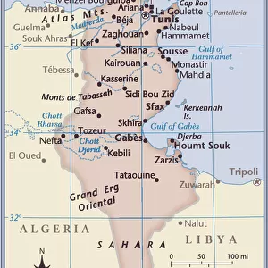
Map of Africa, 1820

![]()
Wall Art and Photo Gifts from Mary Evans Picture Library
Map of Africa, 1820
Map of Africa, 1820. Showing Morocco, Barbary and the Sahara in the north, Soudan and Guinea in the west, Khoikhoi (Hottentots) and Bantu (Caffres) in the south, and Abyssinia and Sennaar in the east
Mary Evans Picture Library makes available wonderful images created for people to enjoy over the centuries
Media ID 23391590
© Florilegius
1820 Amusement Barbary Best Celebration Eyes Instruction Isaac Lead Makeup Moors Muslim Powder Scholar Tarry Taylor Tunis Tunisia
FEATURES IN THESE COLLECTIONS
> Arts
> Artists
> T
> Isaac Taylor
> Mary Evans Prints Online
> New Images August 2021
EDITORS COMMENTS
Celebrating the Past: A Scholar's Gaze on Africa, 1820 This map print, hailing from the annals of history, presents a detailed and intriguing portrayal of Africa in 1820. The map, titled 'Africa,' is a testament to the rich and complex tapestry of cultures, peoples, and geographies that make up the African continent. The map, hand-colored and engraved on copperplate, reveals a wealth of information about the regions of Africa that were known to Europeans at the time. In the north, the map showcases Morocco, Barbary, and the Sahara, home to the Moors and Muslims, with Tunis in Tunisia depicted as a bustling city. The western part of the map highlights Soudan and Guinea, while the southern regions are labeled as Khoikhoi (Hottentots) and Bantu (Caffres). The eastern part of the map reveals Abyssinia and Sennaar. The map, which is a treasure trove of historical information, was produced during an era when travel to Africa was a source of both amusement and instruction for the European elite. The map's intricate details and vibrant colors would have provided a sense of excitement and adventure for those who gazed upon it. This map, a masterpiece of cartography, is a reminder of the importance of historical records and the role they play in shaping our understanding of the world. It is a testament to the power of knowledge and the human curiosity that drives us to explore and learn about the world around us. As we marvel at the intricacies of this map, we are transported back in time, to an era when the world was a little more mysterious, and the thrill of discovery was a daily occurrence. This map, with its rich history and captivating details, is a reminder of the importance of preserving our past and celebrating the achievements of those who came before us.
MADE IN THE USA
Safe Shipping with 30 Day Money Back Guarantee
FREE PERSONALISATION*
We are proud to offer a range of customisation features including Personalised Captions, Color Filters and Picture Zoom Tools
SECURE PAYMENTS
We happily accept a wide range of payment options so you can pay for the things you need in the way that is most convenient for you
* Options may vary by product and licensing agreement. Zoomed Pictures can be adjusted in the Cart.