
William Clark Collection
William Clark was an integral part of the famous Lewis and Clark expedition, also known as the Corps of Discovery


All Professionally Made to Order for Quick Shipping
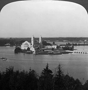
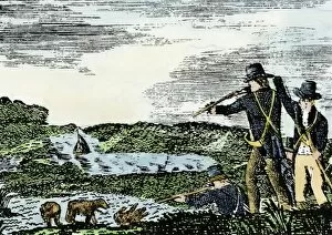
William Clark was an integral part of the famous Lewis and Clark expedition, also known as the Corps of Discovery. Born in 1770, he played a significant role in exploring the American frontier during the early 19th century. PEXP2D-00013 captures a moment when Native Americans met Lewis and Clark at Council Bluffs, showcasing their encounter with different cultures along their journey. The Missouri River, below Great Falls, Montana, is depicted in c1897 by an unknown artist. This image showcases the breathtaking beauty of nature that Clark and his team encountered throughout their exploration. Blue flax, a native wildflower described by Meriwether Lewis himself, can be seen blooming in Montana's landscape. Oto Council is portrayed in a mid-1800s engraving (pub. ), shedding light on the interactions between Native American tribes and explorers like Clark during this time period. These encounters were crucial for establishing diplomatic relations and gathering information about new territories. In 1914, Lewis and Clark were greeted by Native Americans once again as depicted in a screen print titled "Lewis and Clark Greeted by Native Americans. " This artwork highlights the lasting impact of their expedition on indigenous communities. "Explorers: Lewis and Clark in the American Frontier, " created through woodcut print techniques in 1931, emphasizes how these two pioneers shaped America's expansion westward. William Clark's contributions to mapping uncharted territories cannot be overstated. A portrait from 1807 captured by Charles Balthazar Julien Fevret de Saint-Memin showcases William Clark himself. His determined expression reflects his commitment to adventure and discovery. Missouri River near Great Falls is featured again through photographs taken around c1900 by unknown artists. These images provide glimpses into what it might have been like for William Clark as he navigated this mighty river during his historic journey.